Area Overview for SW20 0SQ
Photos of SW20 0SQ
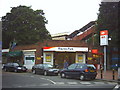
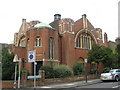
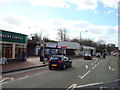
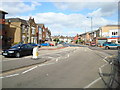
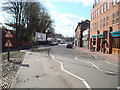
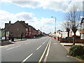
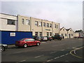
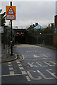
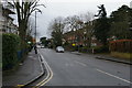
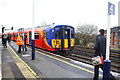
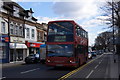
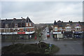
67 photos from this area
Area Information
Key information about the SW20 0SQ including its size, population, and administrative classification.
- Area Type
- Postcode
- Area Size
- 1.0 hectares
- Population
- 1611
- Population Density
- 6112 people/km²
House Prices in SW20 0SQ
15
Properties
£1,553,125
Average Sold Price
£1,000,000
Lowest Price
£2,225,000
Highest Price
Showing 15 properties
| Address | Type | Beds | Baths | Last Sale Price | Last Sale Date | |
|---|---|---|---|---|---|---|
| 19 Cambridge Road, Raynes Park, SW20 0SQ | Semi-detached | 3 | 2 | £1,800,000 | Aug 2023 | |
| 9 Cambridge Road, Raynes Park, SW20 0SQ | Terraced | 2 | 2 | £1,310,000 | Mar 2019 | |
| 5 Cambridge Road, Raynes Park, SW20 0SQ | Terraced | 5 | 3 | £1,220,000 | Sep 2016 | |
| 23 Cambridge Road, Raynes Park, SW20 0SQ | Detached | 5 | 3 | £1,875,000 | Aug 2016 | |
| 3 Cambridge Road, Raynes Park, SW20 0SQ | Maisonette | 5 | 3 | £1,695,000 | Aug 2016 | |
| 13 Cambridge Road, Raynes Park, SW20 0SQ | house | - | - | £2,225,000 | Mar 2011 | |
| 7 Cambridge Road, Raynes Park, SW20 0SQ | house | 5 | - | £1,000,000 | Feb 2011 | |
| 21 Cambridge Road, Raynes Park, SW20 0SQ | Maisonette | 3 | 2 | £1,300,000 | May 2006 | |
| 23A Cambridge Road, Raynes Park, SW20 0SQ | Detached | 4 | 1 | - | - | |
| 17 Cambridge Road, Raynes Park, SW20 0SQ | Semi-detached | - | - | - | - |
Page 1 of 2
Energy Efficiency in SW20 0SQ
Amenities
Schools
| Rank | School | Type | Entry gender | Ages |
|---|
Explore more schools in this area
Go to Schools tabDemographics
Household Size
Family (3-5 people)
most common
Accommodation Type
Flats
most common
Tenure
61
majority
Ethnic Group
White
most common
Religion
N/A
most common
Household Composition
N/A
most common
Age
47
median
Adults (30-64 years)
most common
Household Deprivation
N/A
with no deprivation
NS-SEC
60
in Lower managerial occupations
Explore more demographic insights in this area
Go to Demographics tabPlanning
Planning Constraints
- Flood RiskPremium
- Ramsar Wetland SitesPremium
- Area of Outstanding Natural BeautyPremium
- Protected Nature ReservePremium
- Protected WoodlandPremium