Area Overview for SW20 0DE
Photos of SW20 0DE
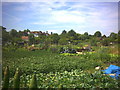
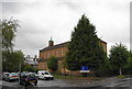
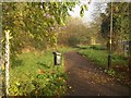
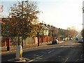
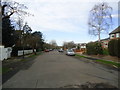
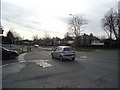
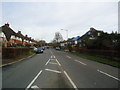
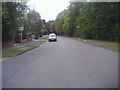
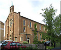
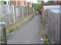
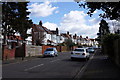
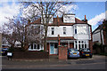
52 photos from this area
Area Information
Key information about the SW20 0DE including its size, population, and administrative classification.
- Area Type
- Postcode
- Area Size
- 9849 m²
- Population
- 1611
- Population Density
- 6112 people/km²
House Prices in SW20 0DE
17
Properties
£816,333
Average Sold Price
£222,000
Lowest Price
£1,950,000
Highest Price
Showing 17 properties
| Address | Type | Beds | Baths | Last Sale Price | Last Sale Date | |
|---|---|---|---|---|---|---|
| 79 Durham Road, Raynes Park, SW20 0DE | Semi-detached | 5 | 2 | £1,950,000 | Mar 2025 | |
| 57 Durham Road, Raynes Park, SW20 0DE | Semi-detached | 3 | 2 | £960,000 | Jan 2020 | |
| 59 Durham Road, Raynes Park, SW20 0DE | Semi-detached | 4 | 2 | £1,205,000 | Nov 2018 | |
| 75 Durham Road, Raynes Park, SW20 0DE | Semi-detached | 5 | 2 | £1,560,000 | May 2016 | |
| 77A Durham Road, Raynes Park, SW20 0DE | Maisonette | 2 | 1 | £515,000 | Feb 2016 | |
| 65 Durham Road, Raynes Park, SW20 0DE | Flat | - | - | £277,000 | Jul 2010 | |
| 73 Durham Road, Raynes Park, SW20 0DE | Semi-detached | - | - | £1,175,000 | Jul 2007 | |
| 53 Durham Road, Raynes Park, SW20 0DE | Semi-detached | 3 | - | £455,000 | Aug 2003 | |
| 67 Durham Road, Raynes Park, SW20 0DE | Semi-detached | - | - | £650,000 | Aug 2002 | |
| 61B Durham Road, Raynes Park, SW20 0DE | Maisonette | 2 | 1 | £222,000 | Jul 2002 |
Page 1 of 2
Energy Efficiency in SW20 0DE
Amenities
Schools
| Rank | School | Type | Entry gender | Ages |
|---|
Explore more schools in this area
Go to Schools tabDemographics
Household Size
Family (3-5 people)
most common
Accommodation Type
Flats
most common
Tenure
61
majority
Ethnic Group
White
most common
Religion
N/A
most common
Household Composition
N/A
most common
Age
47
median
Adults (30-64 years)
most common
Household Deprivation
N/A
with no deprivation
NS-SEC
60
in Lower managerial occupations
Explore more demographic insights in this area
Go to Demographics tabPlanning
Planning Constraints
- Flood RiskPremium
- Ramsar Wetland SitesPremium
- Area of Outstanding Natural BeautyPremium
- Protected Nature ReservePremium
- Protected WoodlandPremium