Area Overview for SW19 8LD
Photos of SW19 8LD
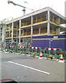
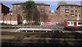
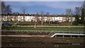
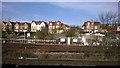
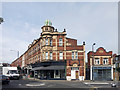
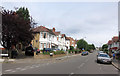
99 photos from this area
Area Information
Key information about the SW19 8LD including its size, population, and administrative classification.
- Area Type
- Postcode
- Area Size
- 8445 m²
- Population
- 1596
- Population Density
- 8764 people/km²
House Prices in SW19 8LD
44
Properties
£526,468
Average Sold Price
£88,000
Lowest Price
£990,000
Highest Price
Showing 44 properties
| Address | Type | Beds | Baths | Last Sale Price | Last Sale Date | |
|---|---|---|---|---|---|---|
| 27 Kohat Road, Wimbledon, London, SW19 8LD | Terraced | 3 | 2 | £710,000 | Jul 2024 | |
| 9 Kohat Road, Wimbledon, London, SW19 8LD | Terraced | 4 | 2 | £990,000 | Apr 2024 | |
| 34 Kohat Road, Wimbledon, London, SW19 8LD | Terraced | 1 | 1 | £325,500 | Oct 2023 | |
| 26 Kohat Road, Wimbledon, London, SW19 8LD | Retail | 3 | 2 | £760,000 | May 2022 | |
| 30 Kohat Road, Wimbledon, London, SW19 8LD | Terraced | 4 | - | £900,000 | Nov 2021 | |
| 24 Kohat Road, Wimbledon, London, SW19 8LD | Terraced | 4 | 2 | £832,000 | Mar 2021 | |
| 1A Kohat Road, Wimbledon, London, SW19 8LD | house | - | - | £640,000 | Feb 2021 | |
| 31 Kohat Road, Wimbledon, London, SW19 8LD | Terraced | 3 | 1 | £600,000 | Jan 2020 | |
| 3 Kohat Road, Wimbledon, London, SW19 8LD | Terraced | 4 | 2 | £790,050 | Apr 2019 | |
| 34A Kohat Road, Wimbledon, London, SW19 8LD | Maisonette | 1 | 1 | £370,000 | Jan 2019 |
Page 1 of 5
Energy Efficiency in SW19 8LD
Amenities
Schools
| Rank | School | Type | Entry gender | Ages |
|---|
Explore more schools in this area
Go to Schools tabDemographics
Household Size
Family (3-5 people)
most common
Accommodation Type
Houses
most common
Tenure
64
majority
Ethnic Group
White
most common
Religion
N/A
most common
Household Composition
N/A
most common
Age
47
median
Adults (30-64 years)
most common
Household Deprivation
N/A
with no deprivation
NS-SEC
57
in Lower managerial occupations
Explore more demographic insights in this area
Go to Demographics tabPlanning
Planning Constraints
- Flood RiskPremium
- Ramsar Wetland SitesPremium
- Area of Outstanding Natural BeautyPremium
- Protected Nature ReservePremium
- Protected WoodlandPremium