Area Overview for SW19 6RB
Photos of SW19 6RB
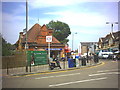
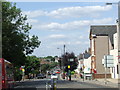
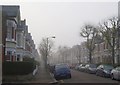
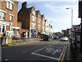
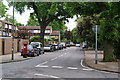
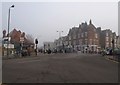
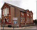
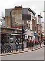
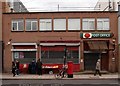
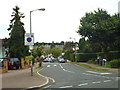
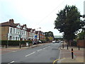
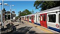
80 photos from this area
Area Information
Key information about the SW19 6RB including its size, population, and administrative classification.
- Area Type
- Postcode
- Area Size
- 1.1 hectares
- Population
- 1662
- Population Density
- 10184 people/km²
House Prices in SW19 6RB
60
Properties
£318,013
Average Sold Price
£59,950
Lowest Price
£532,500
Highest Price
Showing 60 properties
| Address | Type | Beds | Baths | Last Sale Price | Last Sale Date | |
|---|---|---|---|---|---|---|
| 15 Fulwood Walk, London, SW19 6RB | Terraced | 1 | 1 | £450,000 | Dec 2024 | |
| 13 Fulwood Walk, London, SW19 6RB | Terraced | 1 | 1 | £450,000 | Aug 2024 | |
| 33 Fulwood Walk, London, SW19 6RB | Terraced | 1 | 1 | £525,000 | Apr 2024 | |
| 44 Fulwood Walk, London, SW19 6RB | Terraced | 2 | 1 | £360,000 | Jun 2023 | |
| 58 Fulwood Walk, London, SW19 6RB | house | - | - | £460,000 | Apr 2022 | |
| 47 Fulwood Walk, London, SW19 6RB | Terraced | 1 | 1 | £375,000 | Mar 2021 | |
| 59 Fulwood Walk, London, SW19 6RB | house | - | - | £420,000 | Feb 2021 | |
| 52 Fulwood Walk, London, SW19 6RB | house | - | - | £362,000 | Dec 2020 | |
| 17 Fulwood Walk, London, SW19 6RB | Terraced | 3 | 2 | £532,500 | Nov 2019 | |
| 2 Fulwood Walk, London, SW19 6RB | Terraced | 3 | 1 | £380,000 | Sep 2019 |
Page 1 of 6
Energy Efficiency in SW19 6RB
Amenities
Schools
| Rank | School | Type | Entry gender | Ages |
|---|
Explore more schools in this area
Go to Schools tabDemographics
Household Size
Family (3-5 people)
most common
Accommodation Type
Flats
most common
Tenure
47
majority
Ethnic Group
White
most common
Religion
N/A
most common
Household Composition
N/A
most common
Age
47
median
Adults (30-64 years)
most common
Household Deprivation
N/A
with no deprivation
NS-SEC
43
in Lower managerial occupations
Explore more demographic insights in this area
Go to Demographics tabPlanning
Planning Constraints
- Flood RiskPremium
- Ramsar Wetland SitesPremium
- Area of Outstanding Natural BeautyPremium
- Protected Nature ReservePremium
- Protected WoodlandPremium