Area Overview for SW19 6ET
Photos of SW19 6ET
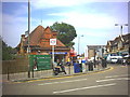
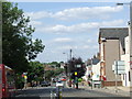
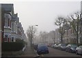
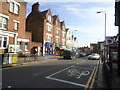
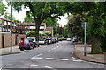
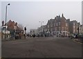
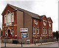
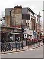
80 photos from this area
Area Information
Key information about the SW19 6ET including its size, population, and administrative classification.
- Area Type
- Postcode
- Area Size
- 4705 m²
- Population
- 1662
- Population Density
- 10184 people/km²
House Prices in SW19 6ET
26
Properties
£490,857
Average Sold Price
£285,000
Lowest Price
£715,000
Highest Price
Showing 26 properties
| Address | Type | Beds | Baths | Last Sale Price | Last Sale Date | |
|---|---|---|---|---|---|---|
| 10 Galgate Close, London, SW19 6ET | Terraced | 3 | 2 | £640,000 | Aug 2024 | |
| 3 Galgate Close, London, SW19 6ET | Terraced | 3 | 1 | £660,000 | Aug 2024 | |
| 7 Galgate Close, London, SW19 6ET | Terraced | 3 | 2 | £715,000 | Aug 2024 | |
| 47 Galgate Close, London, SW19 6ET | house | 3 | 2 | £618,000 | Oct 2023 | |
| 11 Galgate Close, London, SW19 6ET | Semi-detached | 3 | 1 | £620,000 | Jun 2020 | |
| 4 Galgate Close, London, SW19 6ET | Terraced | 3 | 2 | £665,000 | Feb 2020 | |
| 44 Galgate Close, London, SW19 6ET | Terraced | 4 | - | £510,000 | Sep 2018 | |
| 50 Galgate Close, London, SW19 6ET | Terraced | 3 | - | £520,000 | May 2016 | |
| 13 Galgate Close, London, SW19 6ET | house | 3 | - | £365,000 | Jul 2011 | |
| 46 Galgate Close, London, SW19 6ET | house | - | - | £319,000 | Apr 2010 |
Page 1 of 3
Energy Efficiency in SW19 6ET
Amenities
Schools
| Rank | School | Type | Entry gender | Ages |
|---|
Explore more schools in this area
Go to Schools tabDemographics
Household Size
Family (3-5 people)
most common
Accommodation Type
Flats
most common
Tenure
47
majority
Ethnic Group
White
most common
Religion
N/A
most common
Household Composition
N/A
most common
Age
47
median
Adults (30-64 years)
most common
Household Deprivation
N/A
with no deprivation
NS-SEC
43
in Lower managerial occupations
Explore more demographic insights in this area
Go to Demographics tabPlanning
Planning Constraints
- Flood RiskPremium
- Ramsar Wetland SitesPremium
- Area of Outstanding Natural BeautyPremium
- Protected Nature ReservePremium
- Protected WoodlandPremium