Area Overview for SW19 2NE
Photos of SW19 2NE
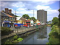
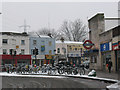
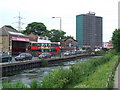
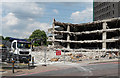
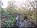
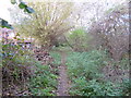
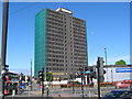
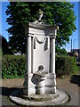
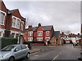
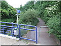
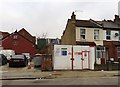
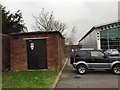
100 photos from this area
Area Information
Key information about the SW19 2NE including its size, population, and administrative classification.
- Area Type
- Postcode
- Area Size
- 1.7 hectares
- Population
- 1748
- Population Density
- 10307 people/km²
House Prices in SW19 2NE
83
Properties
£572,821
Average Sold Price
£71,500
Lowest Price
£937,500
Highest Price
Showing 83 properties
| Address | Type | Beds | Baths | Last Sale Price | Last Sale Date | |
|---|---|---|---|---|---|---|
| 15 Mill Road, Colliers Wood, SW19 2NE | Terraced | 3 | 2 | £825,000 | Apr 2025 | |
| 7 Mill Road, Colliers Wood, SW19 2NE | Terraced | 3 | 2 | £860,000 | Feb 2025 | |
| Flat 41, Trellis House, 1 Mill Road, Colliers Wood, SW19 2NE | Flat | - | - | £499,000 | Sep 2024 | |
| 22 Mill Road, Colliers Wood, SW19 2NE | Terraced | 3 | 1 | £700,000 | May 2024 | |
| 13 Mill Road, Colliers Wood, SW19 2NE | Terraced | 2 | 1 | £860,000 | Jan 2024 | |
| 16 Mill Road, Colliers Wood, SW19 2NE | Terraced | 3 | 3 | £937,500 | Dec 2023 | |
| 3 Mill Road, Colliers Wood, SW19 2NE | Terraced | 2 | 1 | £725,000 | Apr 2023 | |
| 4 Mill Road, Colliers Wood, SW19 2NE | Terraced | 3 | 2 | £921,000 | Dec 2022 | |
| 10 Mill Road, Colliers Wood, SW19 2NE | Terraced | 2 | 1 | £910,000 | Nov 2022 | |
| 24 Mill Road, Colliers Wood, SW19 2NE | Terraced | 3 | 2 | £790,000 | Oct 2022 |
Page 1 of 9
Energy Efficiency in SW19 2NE
Amenities
Schools
| Rank | School | Type | Entry gender | Ages |
|---|
Explore more schools in this area
Go to Schools tabDemographics
Household Size
One person
most common
Accommodation Type
Houses
most common
Tenure
47
majority
Ethnic Group
White
most common
Religion
N/A
most common
Household Composition
N/A
most common
Age
47
median
Adults (30-64 years)
most common
Household Deprivation
N/A
with no deprivation
NS-SEC
52
in Lower managerial occupations
Explore more demographic insights in this area
Go to Demographics tabPlanning
Planning Constraints
- Flood RiskPremium
- Ramsar Wetland SitesPremium
- Area of Outstanding Natural BeautyPremium
- Protected Nature ReservePremium
- Protected WoodlandPremium