Area Overview for SW18 1PA
Photos of SW18 1PA
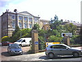
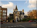
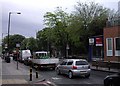
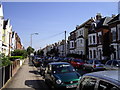
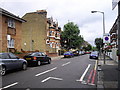
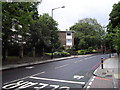
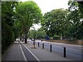
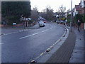
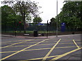

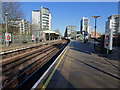
99 photos from this area
Area Information
Key information about the SW18 1PA including its size, population, and administrative classification.
- Area Type
- Postcode
- Area Size
- 3787 m²
- Population
- 1591
- Population Density
- 9858 people/km²
House Prices in SW18 1PA
38
Properties
£783,200
Average Sold Price
£205,000
Lowest Price
£1,340,000
Highest Price
Showing 38 properties
| Address | Type | Beds | Baths | Last Sale Price | Last Sale Date | |
|---|---|---|---|---|---|---|
| 61 Cromford Road, London, SW18 1PA | Maisonette | 2 | 2 | £945,000 | Jun 2024 | |
| 63A Cromford Road, London, SW18 1PA | Flat | 2 | 1 | £598,000 | Nov 2022 | |
| 47 Cromford Road, London, SW18 1PA | Terraced | 2 | 1 | £1,340,000 | Sep 2020 | |
| 57 Cromford Road, London, SW18 1PA | Terraced | 5 | 2 | £1,340,000 | Sep 2018 | |
| 59A Cromford Road, London, SW18 1PA | Flat | - | - | £615,000 | Oct 2015 | |
| 59 Cromford Road, London, SW18 1PA | Flat | 1 | 1 | £616,000 | Dec 2013 | |
| 71 Cromford Road, London, SW18 1PA | house | 5 | - | £1,155,000 | Dec 2012 | |
| 75 Cromford Road, London, SW18 1PA | house | 5 | 3 | £790,000 | Mar 2010 | |
| 61A Cromford Road, London, SW18 1PA | Maisonette | 1 | 1 | £228,000 | Oct 2003 | |
| 63 Cromford Road, London, SW18 1PA | Flat | 2 | - | £205,000 | Nov 2000 |
Page 1 of 4
Energy Efficiency in SW18 1PA
Amenities
Schools
| Rank | School | Type | Entry gender | Ages |
|---|
Explore more schools in this area
Go to Schools tabDemographics
Household Size
Two person
most common
Accommodation Type
Flats
most common
Tenure
52
majority
Ethnic Group
White
most common
Religion
N/A
most common
Household Composition
N/A
most common
Age
47
median
Adults (30-64 years)
most common
Household Deprivation
N/A
with no deprivation
NS-SEC
68
in Lower managerial occupations
Explore more demographic insights in this area
Go to Demographics tabPlanning
Planning Constraints
- Flood RiskPremium
- Ramsar Wetland SitesPremium
- Area of Outstanding Natural BeautyPremium
- Protected Nature ReservePremium
- Protected WoodlandPremium