Area Overview for SW15 2QP
Photos of SW15 2QP

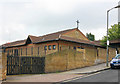

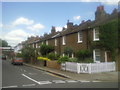
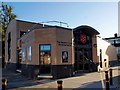
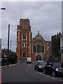

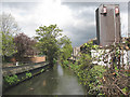
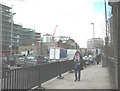
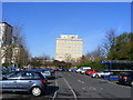
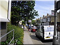
100 photos from this area
Area Information
Key information about the SW15 2QP including its size, population, and administrative classification.
- Area Type
- Postcode
- Area Size
- 4145 m²
- Population
- 1591
- Population Density
- 9858 people/km²
House Prices in SW15 2QP
25
Properties
£666,638
Average Sold Price
£186,000
Lowest Price
£1,392,000
Highest Price
Showing 25 properties
| Address | Type | Beds | Baths | Last Sale Price | Last Sale Date | |
|---|---|---|---|---|---|---|
| 78 Oakhill Road, London, SW15 2QP | house | 3 | 1 | £910,000 | May 2024 | |
| 66 Oakhill Road, London, SW15 2QP | Detached | 4 | 2 | £1,302,500 | Jan 2024 | |
| 68 Oakhill Road, London, SW15 2QP | Flat | - | - | £390,000 | Jun 2021 | |
| 70 Oakhill Road, London, SW15 2QP | Flat | - | - | £395,000 | Feb 2019 | |
| 84 Oakhill Road, London, SW15 2QP | Detached | 4 | 2 | £1,392,000 | Jul 2016 | |
| 56 Oakhill Road, London, SW15 2QP | Terraced | 4 | 4 | £791,000 | Dec 2011 | |
| 82 Oakhill Road, London, SW15 2QP | Semi-detached | 3 | 3 | £625,000 | Oct 2011 | |
| 62 Oakhill Road, London, SW15 2QP | Terraced | - | - | £590,000 | Apr 2006 | |
| 52 Oakhill Road, London, SW15 2QP | Terraced | 4 | 2 | £560,023 | May 2004 | |
| 80 Oakhill Road, London, SW15 2QP | house | - | - | £186,000 | Dec 1996 |
Page 1 of 3
Energy Efficiency in SW15 2QP
Amenities
Schools
| Rank | School | Type | Entry gender | Ages |
|---|
Explore more schools in this area
Go to Schools tabDemographics
Household Size
Two person
most common
Accommodation Type
Flats
most common
Tenure
52
majority
Ethnic Group
White
most common
Religion
N/A
most common
Household Composition
N/A
most common
Age
47
median
Adults (30-64 years)
most common
Household Deprivation
N/A
with no deprivation
NS-SEC
68
in Lower managerial occupations
Explore more demographic insights in this area
Go to Demographics tabPlanning
Planning Constraints
- Flood RiskPremium
- Ramsar Wetland SitesPremium
- Area of Outstanding Natural BeautyPremium
- Protected Nature ReservePremium
- Protected WoodlandPremium