Area Overview for SW17 9RY
Photos of SW17 9RY
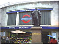
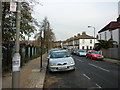
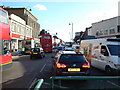
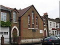
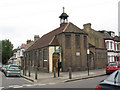
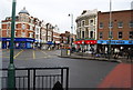
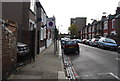
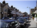
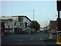
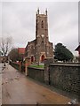
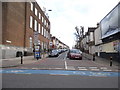
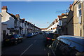
100 photos from this area
Area Information
Key information about the SW17 9RY including its size, population, and administrative classification.
- Area Type
- Postcode
- Area Size
- 3910 m²
- Population
- 1775
- Population Density
- 17133 people/km²
House Prices in SW17 9RY
32
Properties
£384,309
Average Sold Price
£25,000
Lowest Price
£748,101
Highest Price
Showing 32 properties
| Address | Type | Beds | Baths | Last Sale Price | Last Sale Date | |
|---|---|---|---|---|---|---|
| 20 Sellincourt Road, London, SW17 9RY | Maisonette | - | - | £580,000 | Mar 2025 | |
| 42 Sellincourt Road, London, SW17 9RY | Maisonette | 2 | 1 | £515,000 | Mar 2025 | |
| 14 Sellincourt Road, London, SW17 9RY | Maisonette | 3 | 2 | £748,101 | Oct 2024 | |
| 6 Sellincourt Road, London, SW17 9RY | Maisonette | 4 | 2 | £740,000 | Nov 2023 | |
| 58 Sellincourt Road, London, SW17 9RY | Flat | 2 | 1 | £520,000 | Oct 2023 | |
| 56 Sellincourt Road, London, SW17 9RY | Flat | 2 | 1 | £500,000 | Apr 2023 | |
| 34 Sellincourt Road, London, SW17 9RY | Flat | 2 | - | £507,500 | Sep 2022 | |
| 40 Sellincourt Road, London, SW17 9RY | Maisonette | 2 | 1 | £498,500 | Apr 2021 | |
| 62 Sellincourt Road, London, SW17 9RY | Maisonette | 3 | 1 | £700,000 | Nov 2020 | |
| 36 Sellincourt Road, London, SW17 9RY | Flat | - | - | £25,000 | Jul 2019 |
Page 1 of 4
Energy Efficiency in SW17 9RY
Amenities
Schools
| Rank | School | Type | Entry gender | Ages |
|---|
Explore more schools in this area
Go to Schools tabDemographics
Household Size
Two person
most common
Accommodation Type
Flats
most common
Tenure
39
majority
Ethnic Group
White
most common
Religion
N/A
most common
Household Composition
N/A
most common
Age
47
median
Adults (30-64 years)
most common
Household Deprivation
N/A
with no deprivation
NS-SEC
48
in Lower managerial occupations
Explore more demographic insights in this area
Go to Demographics tabPlanning
Planning Constraints
- Flood RiskPremium
- Ramsar Wetland SitesPremium
- Area of Outstanding Natural BeautyPremium
- Protected Nature ReservePremium
- Protected WoodlandPremium