Area Overview for SW17 8NQ
Photos of SW17 8NQ
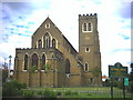
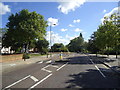
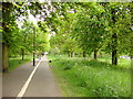
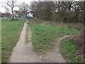
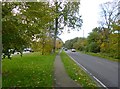
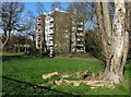
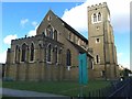
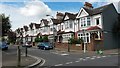
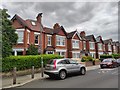
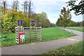
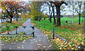
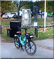
70 photos from this area
Area Information
Key information about the SW17 8NQ including its size, population, and administrative classification.
- Area Type
- Postcode
- Area Size
- 7075 m²
- Population
- 1441
- Population Density
- 15976 people/km²
House Prices in SW17 8NQ
48
Properties
£449,333
Average Sold Price
£74,500
Lowest Price
£775,000
Highest Price
Showing 48 properties
| Address | Type | Beds | Baths | Last Sale Price | Last Sale Date | |
|---|---|---|---|---|---|---|
| 185 Lessingham Avenue, London, SW17 8NQ | Terraced | 2 | 2 | £775,000 | Jan 2025 | |
| 245 Lessingham Avenue, London, SW17 8NQ | house | 2 | 2 | £685,000 | Jul 2024 | |
| 223 Lessingham Avenue, London, SW17 8NQ | Terraced | 3 | 1 | £450,000 | Aug 2023 | |
| 211 Lessingham Avenue, London, SW17 8NQ | house | 2 | - | £631,500 | Apr 2021 | |
| 219 Lessingham Avenue, London, SW17 8NQ | Terraced | 2 | - | £565,000 | Dec 2017 | |
| 179 Lessingham Avenue, London, SW17 8NQ | Semi-detached | 3 | 2 | £525,000 | Jan 2017 | |
| 195 Lessingham Avenue, London, SW17 8NQ | Terraced | 2 | 1 | £213,000 | Feb 2003 | |
| 205 Lessingham Avenue, London, SW17 8NQ | Terraced | - | - | £125,000 | Oct 2000 | |
| 159 Lessingham Avenue, London, SW17 8NQ | Terraced | - | - | £74,500 | May 1998 | |
| 157 Lessingham Avenue, London, SW17 8NQ | Terraced | 3 | - | - | - |
Page 1 of 5
Energy Efficiency in SW17 8NQ
Amenities
Schools
| Rank | School | Type | Entry gender | Ages |
|---|
Explore more schools in this area
Go to Schools tabDemographics
Household Size
Two person
most common
Accommodation Type
Flats
most common
Tenure
52
majority
Ethnic Group
White
most common
Religion
N/A
most common
Household Composition
N/A
most common
Age
47
median
Adults (30-64 years)
most common
Household Deprivation
N/A
with no deprivation
NS-SEC
58
in Lower managerial occupations
Explore more demographic insights in this area
Go to Demographics tabPlanning
Planning Constraints
- Flood RiskPremium
- Ramsar Wetland SitesPremium
- Area of Outstanding Natural BeautyPremium
- Protected Nature ReservePremium
- Protected WoodlandPremium