Area Overview for SW17 8NH
Photos of SW17 8NH
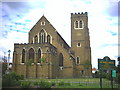
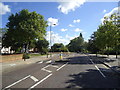
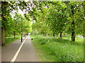
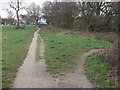
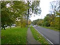
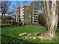
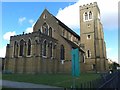
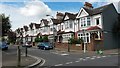
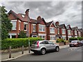
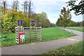
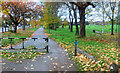
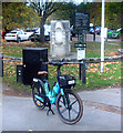
70 photos from this area
Area Information
Key information about the SW17 8NH including its size, population, and administrative classification.
- Area Type
- Postcode
- Area Size
- 7218 m²
- Population
- 1448
- Population Density
- 16549 people/km²
House Prices in SW17 8NH
47
Properties
£513,917
Average Sold Price
£88,000
Lowest Price
£765,000
Highest Price
Showing 47 properties
| Address | Type | Beds | Baths | Last Sale Price | Last Sale Date | |
|---|---|---|---|---|---|---|
| 212 Lessingham Avenue, London, SW17 8NH | Terraced | 3 | 2 | £765,000 | Jul 2025 | |
| 160 Lessingham Avenue, London, SW17 8NH | Terraced | 2 | 1 | £637,500 | Oct 2024 | |
| 142 Lessingham Avenue, London, SW17 8NH | Terraced | 2 | - | £705,000 | Aug 2024 | |
| 206 Lessingham Avenue, London, SW17 8NH | Terraced | 2 | 1 | £584,999 | Dec 2023 | |
| 210 Lessingham Avenue, London, SW17 8NH | Terraced | 3 | 1 | £755,050 | May 2023 | |
| 190 Lessingham Avenue, London, SW17 8NH | house | - | - | £662,500 | Feb 2021 | |
| 138 Lessingham Avenue, London, SW17 8NH | Terraced | 2 | - | £580,000 | Dec 2020 | |
| 174 Lessingham Avenue, London, SW17 8NH | house | - | - | £670,000 | Jul 2020 | |
| 186 Lessingham Avenue, London, SW17 8NH | Terraced | 3 | 1 | £593,000 | Jun 2020 | |
| 156 Lessingham Avenue, London, SW17 8NH | house | 2 | 1 | £550,000 | Apr 2019 |
Page 1 of 5
Energy Efficiency in SW17 8NH
Amenities
Schools
| Rank | School | Type | Entry gender | Ages |
|---|
Explore more schools in this area
Go to Schools tabDemographics
Household Size
Two person
most common
Accommodation Type
Houses
most common
Tenure
40
majority
Ethnic Group
White
most common
Religion
N/A
most common
Household Composition
N/A
most common
Age
47
median
Adults (30-64 years)
most common
Household Deprivation
N/A
with no deprivation
NS-SEC
47
in Lower managerial occupations
Explore more demographic insights in this area
Go to Demographics tabPlanning
Planning Constraints
- Flood RiskPremium
- Ramsar Wetland SitesPremium
- Area of Outstanding Natural BeautyPremium
- Protected Nature ReservePremium
- Protected WoodlandPremium