Area Overview for SW17 7UD
Photos of SW17 7UD

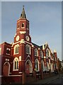
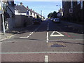
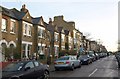
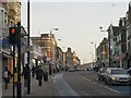

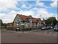
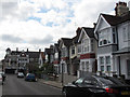
100 photos from this area
Area Information
Key information about the SW17 7UD including its size, population, and administrative classification.
- Area Type
- Postcode
- Area Size
- 2631 m²
- Population
- 1847
- Population Density
- 3193 people/km²
House Prices in SW17 7UD
16
Properties
£283,721
Average Sold Price
£62,500
Lowest Price
£831,000
Highest Price
Showing 16 properties
| Address | Type | Beds | Baths | Last Sale Price | Last Sale Date | |
|---|---|---|---|---|---|---|
| 15 St Anthonys Close, London, SW17 7UD | Terraced | 1 | 1 | £542,500 | Aug 2025 | |
| 14 St Anthonys Close, London, SW17 7UD | Terraced | 3 | 2 | £831,000 | Dec 2024 | |
| 5 St Anthonys Close, London, SW17 7UD | Terraced | 2 | 1 | £425,000 | Jun 2018 | |
| 8 St Anthonys Close, London, SW17 7UD | Flat | - | - | £337,000 | Jan 2017 | |
| 1 St Anthonys Close, London, SW17 7UD | Terraced | 1 | 1 | £360,000 | Jan 2015 | |
| 3 St Anthonys Close, London, SW17 7UD | Terraced | 1 | 2 | £315,000 | Feb 2014 | |
| 4 St Anthonys Close, London, SW17 7UD | house | - | - | £270,000 | Jan 2013 | |
| 16 St Anthonys Close, London, SW17 7UD | Terraced | 1 | - | £205,000 | May 2005 | |
| 6 St Anthonys Close, London, SW17 7UD | house | 1 | - | £157,600 | Dec 2002 | |
| 9 St Anthonys Close, London, SW17 7UD | Flat | 1 | - | £107,500 | Apr 2000 |
Page 1 of 2
Energy Efficiency in SW17 7UD
Amenities
Schools
| Rank | School | Type | Entry gender | Ages |
|---|
Explore more schools in this area
Go to Schools tabDemographics
Household Size
Family (3-5 people)
most common
Accommodation Type
Houses
most common
Tenure
67
majority
Ethnic Group
White
most common
Religion
N/A
most common
Household Composition
N/A
most common
Age
47
median
Adults (30-64 years)
most common
Household Deprivation
N/A
with no deprivation
NS-SEC
66
in Lower managerial occupations
Explore more demographic insights in this area
Go to Demographics tabPlanning
Planning Constraints
- Flood RiskPremium
- Ramsar Wetland SitesPremium
- Area of Outstanding Natural BeautyPremium
- Protected Nature ReservePremium
- Protected WoodlandPremium