Area Overview for SW17 7DP
Photos of SW17 7DP
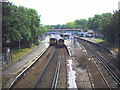
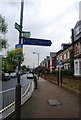
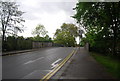
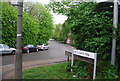
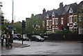
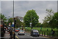
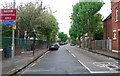
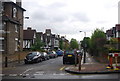
100 photos from this area
Area Information
Key information about the SW17 7DP including its size, population, and administrative classification.
- Area Type
- Postcode
- Area Size
- 2.1 hectares
- Population
- 1847
- Population Density
- 3193 people/km²
House Prices in SW17 7DP
24
Properties
£863,273
Average Sold Price
£165,000
Lowest Price
£1,550,000
Highest Price
Showing 24 properties
| Address | Type | Beds | Baths | Last Sale Price | Last Sale Date | |
|---|---|---|---|---|---|---|
| 228C Beechcroft Road, London, SW17 7DP | Detached | 3 | 1 | £1,200,000 | Oct 2024 | |
| 234 Beechcroft Road, London, SW17 7DP | Semi-detached | 4 | 2 | £1,550,000 | Apr 2023 | |
| 206 Beechcroft Road, London, SW17 7DP | Terraced | 4 | 2 | £1,325,000 | Jun 2022 | |
| 214 Beechcroft Road, London, SW17 7DP | house | - | - | £1,235,000 | Nov 2021 | |
| 212 Beechcroft Road, London, SW17 7DP | Terraced | 5 | 2 | £1,050,000 | Sep 2021 | |
| 240 Beechcroft Road, London, SW17 7DP | Detached | 4 | 2 | £976,000 | Jun 2013 | |
| 220 Beechcroft Road, London, SW17 7DP | Terraced | 4 | - | £605,000 | Apr 2013 | |
| 226 Beechcroft Road, London, SW17 7DP | house | 3 | - | £500,000 | Jul 2010 | |
| 236 Beechcroft Road, London, SW17 7DP | Terraced | 4 | 2 | £500,000 | Jun 2009 | |
| 222 Beechcroft Road, London, SW17 7DP | Terraced | 4 | 1 | £390,000 | Nov 2006 |
Page 1 of 3
Energy Efficiency in SW17 7DP
Amenities
Schools
| Rank | School | Type | Entry gender | Ages |
|---|
Explore more schools in this area
Go to Schools tabDemographics
Household Size
Family (3-5 people)
most common
Accommodation Type
Houses
most common
Tenure
67
majority
Ethnic Group
White
most common
Religion
N/A
most common
Household Composition
N/A
most common
Age
47
median
Adults (30-64 years)
most common
Household Deprivation
N/A
with no deprivation
NS-SEC
66
in Lower managerial occupations
Explore more demographic insights in this area
Go to Demographics tabPlanning
Planning Constraints
- Flood RiskPremium
- Ramsar Wetland SitesPremium
- Area of Outstanding Natural BeautyPremium
- Protected Nature ReservePremium
- Protected WoodlandPremium