Area Overview for SW16 6SN
Photos of SW16 6SN

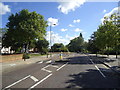
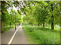
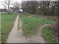
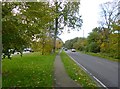
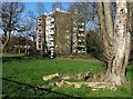

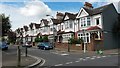
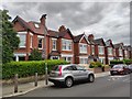
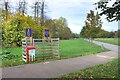

70 photos from this area
Area Information
Key information about the SW16 6SN including its size, population, and administrative classification.
- Area Type
- Postcode
- Area Size
- 5295 m²
- Population
- 1746
- Population Density
- 8167 people/km²
House Prices in SW16 6SN
17
Properties
£536,583
Average Sold Price
£165,000
Lowest Price
£900,000
Highest Price
Showing 17 properties
| Address | Type | Beds | Baths | Last Sale Price | Last Sale Date | |
|---|---|---|---|---|---|---|
| 9 Daleside Road, London, SW16 6SN | house | 3 | 1 | £887,500 | Dec 2022 | |
| 31 Daleside Road, London, SW16 6SN | house | - | - | £727,500 | Sep 2021 | |
| 17 Daleside Road, London, SW16 6SN | house | 3 | - | £900,000 | Aug 2020 | |
| 27 Daleside Road, London, SW16 6SN | Semi-detached | 3 | 1 | £585,000 | Jul 2019 | |
| 35 Daleside Road, London, SW16 6SN | house | 3 | 1 | £650,000 | Jul 2018 | |
| 29 Daleside Road, London, SW16 6SN | Semi-detached | 3 | 1 | £710,000 | Apr 2017 | |
| 5 Daleside Road, London, SW16 6SN | Semi-detached | - | - | £335,000 | Jan 2014 | |
| 19 Daleside Road, London, SW16 6SN | house | - | - | £435,000 | Oct 2010 | |
| 11A Daleside Road, London, SW16 6SN | Semi-detached | - | - | £375,000 | Apr 2008 | |
| 23 Daleside Road, London, SW16 6SN | Semi-detached | - | - | £419,000 | Apr 2008 |
Page 1 of 2
Energy Efficiency in SW16 6SN
Amenities
Schools
| Rank | School | Type | Entry gender | Ages |
|---|
Explore more schools in this area
Go to Schools tabDemographics
Household Size
Family (3-5 people)
most common
Accommodation Type
Houses
most common
Tenure
75
majority
Ethnic Group
White
most common
Religion
N/A
most common
Household Composition
N/A
most common
Age
47
median
Adults (30-64 years)
most common
Household Deprivation
N/A
with no deprivation
NS-SEC
42
in Lower managerial occupations
Explore more demographic insights in this area
Go to Demographics tabPlanning
Planning Constraints
- Flood RiskPremium
- Ramsar Wetland SitesPremium
- Area of Outstanding Natural BeautyPremium
- Protected Nature ReservePremium
- Protected WoodlandPremium