Area Overview for SW16 6RP
Photos of SW16 6RP
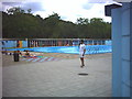
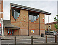
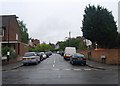
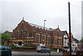
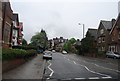

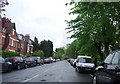
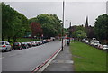
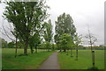
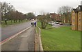
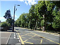
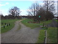
100 photos from this area
Area Information
Key information about the SW16 6RP including its size, population, and administrative classification.
- Area Type
- Postcode
- Area Size
- 8539 m²
- Population
- 1734
- Population Density
- 13718 people/km²
House Prices in SW16 6RP
39
Properties
£654,425
Average Sold Price
£105,000
Lowest Price
£1,182,500
Highest Price
Showing 39 properties
| Address | Type | Beds | Baths | Last Sale Price | Last Sale Date | |
|---|---|---|---|---|---|---|
| 14 Pretoria Road, London, SW16 6RP | Terraced | 5 | 2 | £1,182,500 | May 2024 | |
| 52 Pretoria Road, London, SW16 6RP | house | 5 | 2 | £1,150,000 | Dec 2022 | |
| 40 Pretoria Road, London, SW16 6RP | Terraced | 3 | 3 | £1,151,000 | Apr 2022 | |
| 54 Pretoria Road, London, SW16 6RP | Semi-detached | 5 | 1 | £735,000 | Aug 2019 | |
| 10 Pretoria Road, London, SW16 6RP | Flat | 1 | 1 | £1,090,000 | Jul 2018 | |
| 60 Pretoria Road, London, SW16 6RP | house | - | - | £780,000 | Jun 2017 | |
| 30 Pretoria Road, London, SW16 6RP | house | - | - | £750,000 | Jun 2017 | |
| 42 Pretoria Road, London, SW16 6RP | house | - | - | £940,000 | Nov 2016 | |
| 36 Pretoria Road, London, SW16 6RP | Terraced | 5 | 2 | £930,000 | Mar 2016 | |
| 58 Pretoria Road, London, SW16 6RP | Terraced | 4 | - | £950,000 | Jun 2015 |
Page 1 of 4
Energy Efficiency in SW16 6RP
Amenities
Schools
| Rank | School | Type | Entry gender | Ages |
|---|
Explore more schools in this area
Go to Schools tabDemographics
Household Size
Family (3-5 people)
most common
Accommodation Type
Houses
most common
Tenure
65
majority
Ethnic Group
White
most common
Religion
N/A
most common
Household Composition
N/A
most common
Age
47
median
Adults (30-64 years)
most common
Household Deprivation
N/A
with no deprivation
NS-SEC
47
in Lower managerial occupations
Explore more demographic insights in this area
Go to Demographics tabPlanning
Planning Constraints
- Flood RiskPremium
- Ramsar Wetland SitesPremium
- Area of Outstanding Natural BeautyPremium
- Protected Nature ReservePremium
- Protected WoodlandPremium