Area Overview for SW16 5TE
Photos of SW16 5TE
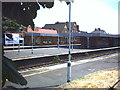
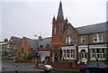
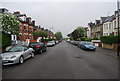
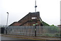
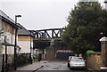
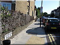
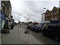
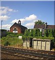
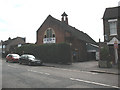
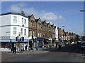
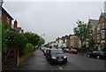
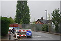
98 photos from this area
Area Information
Key information about the SW16 5TE including its size, population, and administrative classification.
- Area Type
- Postcode
- Area Size
- 3869 m²
- Population
- 1649
- Population Density
- 13461 people/km²
House Prices in SW16 5TE
24
Properties
£371,639
Average Sold Price
£74,000
Lowest Price
£1,063,586
Highest Price
Showing 24 properties
| Address | Type | Beds | Baths | Last Sale Price | Last Sale Date | |
|---|---|---|---|---|---|---|
| 18 Streatham Vale, London, SW16 5TE | Flat | - | - | £1,063,586 | Aug 2025 | |
| 24 Streatham Vale, London, SW16 5TE | Terraced | 3 | 2 | £575,000 | Dec 2023 | |
| 10 Streatham Vale, London, SW16 5TE | Detached | 4 | 2 | £225,000 | Aug 2006 | |
| 28 Streatham Vale, London, SW16 5TE | house | 3 | - | £205,000 | Jul 2004 | |
| 26 Streatham Vale, London, SW16 5TE | Flat | 1 | - | £74,000 | Aug 1998 | |
| 30 Streatham Vale, London, SW16 5TE | Terraced | 4 | 1 | £87,250 | Nov 1997 | |
| 12 Streatham Vale, London, SW16 5TE | Terraced | 4 | 2 | - | - | |
| 16A Streatham Vale, London, SW16 5TE | Flat | 3 | - | - | - | |
| Flat Above Shop, 2 Streatham Vale, London, SW16 5TE | Maisonette | 3 | - | - | - | |
| 16B Streatham Vale, London, SW16 5TE | Flat | 4 | 1 | - | - |
Page 1 of 3
Energy Efficiency in SW16 5TE
Amenities
Schools
| Rank | School | Type | Entry gender | Ages |
|---|
Explore more schools in this area
Go to Schools tabDemographics
Household Size
Family (3-5 people)
most common
Accommodation Type
Houses
most common
Tenure
45
majority
Ethnic Group
White
most common
Religion
N/A
most common
Household Composition
N/A
most common
Age
47
median
Adults (30-64 years)
most common
Household Deprivation
N/A
with no deprivation
NS-SEC
35
in Lower managerial occupations
Explore more demographic insights in this area
Go to Demographics tabPlanning
Planning Constraints
- Flood RiskPremium
- Ramsar Wetland SitesPremium
- Area of Outstanding Natural BeautyPremium
- Protected Nature ReservePremium
- Protected WoodlandPremium