Area Overview for SW16 5NY
Photos of SW16 5NY
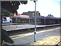
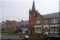
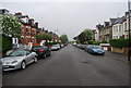
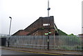
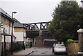
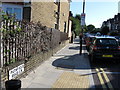
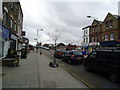
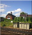
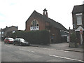
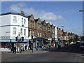
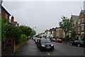
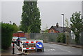
98 photos from this area
Area Information
Key information about the SW16 5NY including its size, population, and administrative classification.
- Area Type
- Postcode
- Area Size
- 9809 m²
- Population
- 1618
- Population Density
- 14894 people/km²
House Prices in SW16 5NY
61
Properties
£529,283
Average Sold Price
£116,000
Lowest Price
£902,000
Highest Price
Showing 61 properties
| Address | Type | Beds | Baths | Last Sale Price | Last Sale Date | |
|---|---|---|---|---|---|---|
| 48 Pathfield Road, London, SW16 5NY | Terraced | 5 | 2 | £875,000 | Mar 2025 | |
| 70 Pathfield Road, London, SW16 5NY | house | 4 | 1 | £802,000 | Mar 2025 | |
| 64 Pathfield Road, London, SW16 5NY | Terraced | 3 | 1 | £825,000 | Aug 2024 | |
| 50 Pathfield Road, London, SW16 5NY | Terraced | 4 | 3 | £850,000 | Jul 2024 | |
| 62 Pathfield Road, London, SW16 5NY | Terraced | 3 | 1 | £700,000 | Nov 2023 | |
| 84 Pathfield Road, London, SW16 5NY | Terraced | 3 | - | £750,000 | Jun 2021 | |
| 74 Pathfield Road, London, SW16 5NY | Terraced | 3 | - | £902,000 | Dec 2020 | |
| 54 Pathfield Road, London, SW16 5NY | Terraced | 3 | 1 | £760,000 | Feb 2020 | |
| 42 Pathfield Road, London, SW16 5NY | Unknown | - | - | £475,000 | Jul 2017 | |
| 52 Pathfield Road, London, SW16 5NY | Terraced | 3 | 2 | £760,000 | Mar 2016 |
Page 1 of 7
Energy Efficiency in SW16 5NY
Amenities
Schools
| Rank | School | Type | Entry gender | Ages |
|---|
Explore more schools in this area
Go to Schools tabDemographics
Household Size
Family (3-5 people)
most common
Accommodation Type
Flats
most common
Tenure
42
majority
Ethnic Group
White
most common
Religion
N/A
most common
Household Composition
N/A
most common
Age
47
median
Adults (30-64 years)
most common
Household Deprivation
N/A
with no deprivation
NS-SEC
44
in Lower managerial occupations
Explore more demographic insights in this area
Go to Demographics tabPlanning
Planning Constraints
- Flood RiskPremium
- Ramsar Wetland SitesPremium
- Area of Outstanding Natural BeautyPremium
- Protected Nature ReservePremium
- Protected WoodlandPremium