Area Overview for SW16 5NW
Photos of SW16 5NW
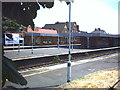
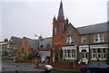
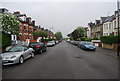
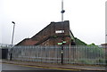
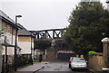
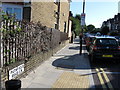
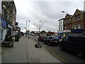
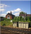
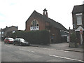
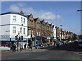
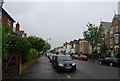
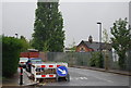
98 photos from this area
Area Information
Key information about the SW16 5NW including its size, population, and administrative classification.
- Area Type
- Postcode
- Area Size
- 1.2 hectares
- Population
- 1618
- Population Density
- 14894 people/km²
House Prices in SW16 5NW
71
Properties
£594,689
Average Sold Price
£59,950
Lowest Price
£900,000
Highest Price
Showing 71 properties
| Address | Type | Beds | Baths | Last Sale Price | Last Sale Date | |
|---|---|---|---|---|---|---|
| 97 Greyhound Lane, London, SW16 5NW | Semi-detached | 3 | 1 | £680,000 | Aug 2022 | |
| 51 Greyhound Lane, London, SW16 5NW | Flat | 2 | 1 | £450,000 | Jul 2022 | |
| 69 Greyhound Lane, London, SW16 5NW | house | - | - | £860,000 | Dec 2021 | |
| 47 GREYHOUND LANE, London, SW16 5NW | Semi-detached | 6 | 2 | £650,000 | Nov 2021 | |
| 113 Greyhound Lane, London, SW16 5NW | Terraced | 3 | 1 | £627,500 | Sep 2021 | |
| 63 Greyhound Lane, London, SW16 5NW | Semi-detached | 7 | 3 | £835,000 | Aug 2020 | |
| 61 Greyhound Lane, London, SW16 5NW | Semi-detached | 2 | 1 | £825,000 | Jul 2020 | |
| 87 Greyhound Lane, London, SW16 5NW | Terraced | 4 | 2 | £760,000 | Sep 2019 | |
| 105 Greyhound Lane, London, SW16 5NW | Terraced | 3 | 1 | £475,000 | Sep 2019 | |
| 91 Greyhound Lane, London, SW16 5NW | Terraced | 3 | 2 | £715,000 | Jul 2017 |
Page 1 of 8
Energy Efficiency in SW16 5NW
Amenities
Schools
| Rank | School | Type | Entry gender | Ages |
|---|
Explore more schools in this area
Go to Schools tabDemographics
Household Size
Family (3-5 people)
most common
Accommodation Type
Flats
most common
Tenure
42
majority
Ethnic Group
White
most common
Religion
N/A
most common
Household Composition
N/A
most common
Age
47
median
Adults (30-64 years)
most common
Household Deprivation
N/A
with no deprivation
NS-SEC
44
in Lower managerial occupations
Explore more demographic insights in this area
Go to Demographics tabPlanning
Planning Constraints
- Flood RiskPremium
- Ramsar Wetland SitesPremium
- Area of Outstanding Natural BeautyPremium
- Protected Nature ReservePremium
- Protected WoodlandPremium