Area Overview for SW16 5DR
Photos of SW16 5DR
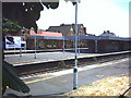
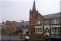
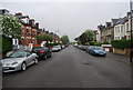
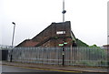
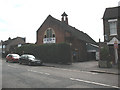
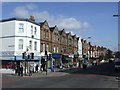
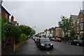
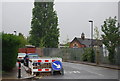
98 photos from this area
Area Information
Key information about the SW16 5DR including its size, population, and administrative classification.
- Area Type
- Postcode
- Area Size
- 5921 m²
- Population
- 1529
- Population Density
- 11983 people/km²
House Prices in SW16 5DR
27
Properties
£331,611
Average Sold Price
£75,000
Lowest Price
£634,380
Highest Price
Showing 27 properties
| Address | Type | Beds | Baths | Last Sale Price | Last Sale Date | |
|---|---|---|---|---|---|---|
| 12 Glenister Park Road, London, SW16 5DR | Terraced | 3 | 1 | £520,000 | Oct 2023 | |
| 26 Glenister Park Road, London, SW16 5DR | Terraced | 3 | 1 | £530,000 | Mar 2022 | |
| 20 Glenister Park Road, London, SW16 5DR | house | - | - | £610,000 | Apr 2021 | |
| 30 Glenister Park Road, London, SW16 5DR | Terraced | 3 | 1 | £475,000 | Mar 2020 | |
| 34 Glenister Park Road, London, SW16 5DR | Terraced | 4 | 3 | £505,000 | Jul 2019 | |
| 50 Glenister Park Road, London, SW16 5DR | Terraced | 4 | 2 | £634,380 | Jul 2019 | |
| 14 Glenister Park Road, London, SW16 5DR | Terraced | 3 | - | £425,000 | Mar 2014 | |
| 24 Glenister Park Road, London, SW16 5DR | house | 4 | - | £256,500 | Oct 2011 | |
| 48 Glenister Park Road, London, SW16 5DR | house | - | - | £244,950 | Aug 2006 | |
| 38 Glenister Park Road, London, SW16 5DR | Terraced | 3 | - | £245,000 | Jul 2006 |
Page 1 of 3
Energy Efficiency in SW16 5DR
Amenities
Schools
| Rank | School | Type | Entry gender | Ages |
|---|
Explore more schools in this area
Go to Schools tabDemographics
Household Size
Family (3-5 people)
most common
Accommodation Type
Houses
most common
Tenure
59
majority
Ethnic Group
White
most common
Religion
N/A
most common
Household Composition
N/A
most common
Age
47
median
Adults (30-64 years)
most common
Household Deprivation
N/A
with no deprivation
NS-SEC
33
in Lower managerial occupations
Explore more demographic insights in this area
Go to Demographics tabPlanning
Planning Constraints
- Flood RiskPremium
- Ramsar Wetland SitesPremium
- Area of Outstanding Natural BeautyPremium
- Protected Nature ReservePremium
- Protected WoodlandPremium