Area Overview for SW16 4TA
Photos of SW16 4TA
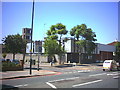
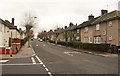
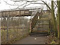

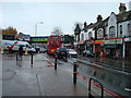
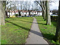
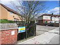

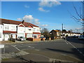


85 photos from this area
Area Information
Key information about the SW16 4TA including its size, population, and administrative classification.
- Area Type
- Postcode
- Area Size
- 5841 m²
- Population
- 1786
- Population Density
- 11369 people/km²
House Prices in SW16 4TA
24
Properties
£330,319
Average Sold Price
£75,000
Lowest Price
£690,000
Highest Price
Showing 24 properties
| Address | Type | Beds | Baths | Last Sale Price | Last Sale Date | |
|---|---|---|---|---|---|---|
| 94 Norton Gardens, Norbury, London, SW16 4TA | Terraced | 3 | 1 | £450,000 | Dec 2025 | |
| 82 Norton Gardens, Norbury, London, SW16 4TA | Terraced | 3 | - | £400,000 | Oct 2023 | |
| 72 Norton Gardens, Norbury, London, SW16 4TA | house | 3 | 1 | £525,000 | Jul 2023 | |
| 62 Norton Gardens, Norbury, London, SW16 4TA | Terraced | 3 | 3 | £690,000 | Jan 2021 | |
| 76 Norton Gardens, Norbury, London, SW16 4TA | Semi-detached | 3 | 1 | £418,000 | Mar 2016 | |
| 74 Norton Gardens, Norbury, London, SW16 4TA | Semi-detached | 3 | 1 | £350,000 | Feb 2015 | |
| 88 Norton Gardens, Norbury, London, SW16 4TA | house | 3 | - | £240,000 | Nov 2011 | |
| 58 Norton Gardens, Norbury, London, SW16 4TA | Terraced | - | - | £283,000 | Oct 2007 | |
| 68 Norton Gardens, Norbury, London, SW16 4TA | Semi-detached | - | - | £238,150 | Oct 2006 | |
| 78 Norton Gardens, Norbury, London, SW16 4TA | Semi-detached | - | - | £235,000 | Nov 2003 |
Page 1 of 3
Energy Efficiency in SW16 4TA
Amenities
Schools
| Rank | School | Type | Entry gender | Ages |
|---|
Explore more schools in this area
Go to Schools tabDemographics
Household Size
Family (3-5 people)
most common
Accommodation Type
Houses
most common
Tenure
43
majority
Ethnic Group
White
most common
Religion
N/A
most common
Household Composition
N/A
most common
Age
47
median
Adults (30-64 years)
most common
Household Deprivation
N/A
with no deprivation
NS-SEC
28
in Lower managerial occupations
Explore more demographic insights in this area
Go to Demographics tabPlanning
Planning Constraints
- Flood RiskPremium
- Ramsar Wetland SitesPremium
- Area of Outstanding Natural BeautyPremium
- Protected Nature ReservePremium
- Protected WoodlandPremium