Area Overview for SW16 4PL
Photos of SW16 4PL
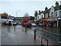
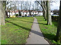
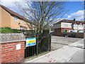
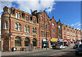
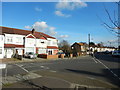
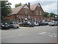
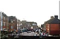
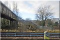
85 photos from this area
Area Information
Key information about the SW16 4PL including its size, population, and administrative classification.
- Area Type
- Postcode
- Area Size
- 8388 m²
- Population
- 1786
- Population Density
- 11369 people/km²
House Prices in SW16 4PL
23
Properties
£373,972
Average Sold Price
£91,000
Lowest Price
£575,000
Highest Price
Showing 23 properties
| Address | Type | Beds | Baths | Last Sale Price | Last Sale Date | |
|---|---|---|---|---|---|---|
| 61 Semley Road, Norbury, London, SW16 4PL | Detached | 3 | 1 | £550,000 | Nov 2025 | |
| 49 Semley Road, Norbury, London, SW16 4PL | Detached | 3 | 1 | £517,500 | Mar 2025 | |
| 59 Semley Road, Norbury, London, SW16 4PL | Terraced | 3 | 1 | £575,000 | Jan 2025 | |
| 89 Semley Road, Norbury, London, SW16 4PL | house | - | - | £552,000 | Jun 2021 | |
| 77 Semley Road, Norbury, London, SW16 4PL | house | - | - | £450,000 | Mar 2021 | |
| 83 Semley Road, Norbury, London, SW16 4PL | Semi-detached | 3 | 1 | £490,000 | Jul 2018 | |
| 87 Semley Road, Norbury, London, SW16 4PL | Semi-detached | 3 | 1 | £428,000 | Oct 2017 | |
| 91 Semley Road, Norbury, London, SW16 4PL | Semi-detached | 4 | 1 | £545,000 | Jun 2017 | |
| 81 Semley Road, Norbury, London, SW16 4PL | Terraced | 3 | 1 | £440,000 | Nov 2016 | |
| 79 Semley Road, Norbury, London, SW16 4PL | Semi-detached | 5 | 2 | £442,000 | Jul 2014 |
Page 1 of 3
Energy Efficiency in SW16 4PL
Amenities
Schools
| Rank | School | Type | Entry gender | Ages |
|---|
Explore more schools in this area
Go to Schools tabDemographics
Household Size
Family (3-5 people)
most common
Accommodation Type
Houses
most common
Tenure
43
majority
Ethnic Group
White
most common
Religion
N/A
most common
Household Composition
N/A
most common
Age
47
median
Adults (30-64 years)
most common
Household Deprivation
N/A
with no deprivation
NS-SEC
28
in Lower managerial occupations
Explore more demographic insights in this area
Go to Demographics tabPlanning
Planning Constraints
- Flood RiskPremium
- Ramsar Wetland SitesPremium
- Area of Outstanding Natural BeautyPremium
- Protected Nature ReservePremium
- Protected WoodlandPremium