Area Overview for SW12 8RJ
Photos of SW12 8RJ
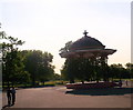
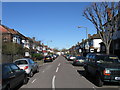
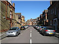
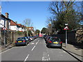
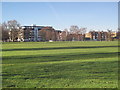
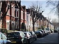
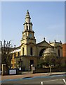
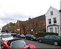
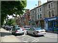
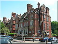
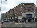
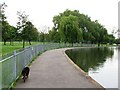
100 photos from this area
Area Information
Key information about the SW12 8RJ including its size, population, and administrative classification.
- Area Type
- Postcode
- Area Size
- 8076 m²
- Population
- 1657
- Population Density
- 8064 people/km²
House Prices in SW12 8RJ
29
Properties
£790,621
Average Sold Price
£162,350
Lowest Price
£1,670,000
Highest Price
Showing 29 properties
| Address | Type | Beds | Baths | Last Sale Price | Last Sale Date | |
|---|---|---|---|---|---|---|
| 7 Holmside Road, London, SW12 8RJ | Semi-detached | 3 | 1 | £1,365,000 | Oct 2023 | |
| 22 Holmside Road, London, SW12 8RJ | Retail | 3 | 1 | £1,200,000 | Jul 2022 | |
| 6 Holmside Road, London, SW12 8RJ | house | 4 | - | £1,670,000 | Jul 2022 | |
| 5 Holmside Road, London, SW12 8RJ | Semi-detached | 3 | 1 | £1,275,000 | Nov 2020 | |
| 24 Holmside Road, London, SW12 8RJ | Semi-detached | 5 | 3 | £1,278,500 | Jan 2018 | |
| 10 Holmside Road, London, SW12 8RJ | house | 3 | - | £920,000 | Aug 2013 | |
| 16 Holmside Road, London, SW12 8RJ | Semi-detached | 4 | - | £1,050,000 | Apr 2013 | |
| 25 Holmside Road, London, SW12 8RJ | house | 4 | 1 | £945,000 | Jan 2013 | |
| 11 Holmside Road, London, SW12 8RJ | Detached | 4 | 3 | £760,000 | Oct 2010 | |
| 28 Holmside Road, London, SW12 8RJ | house | - | - | £670,950 | Dec 2009 |
Page 1 of 3
Energy Efficiency in SW12 8RJ
Amenities
Schools
| Rank | School | Type | Entry gender | Ages |
|---|
Explore more schools in this area
Go to Schools tabDemographics
Household Size
Family (3-5 people)
most common
Accommodation Type
Houses
most common
Tenure
72
majority
Ethnic Group
White
most common
Religion
N/A
most common
Household Composition
N/A
most common
Age
47
median
Adults (30-64 years)
most common
Household Deprivation
N/A
with no deprivation
NS-SEC
67
in Lower managerial occupations
Explore more demographic insights in this area
Go to Demographics tabPlanning
Planning Constraints
- Flood RiskPremium
- Ramsar Wetland SitesPremium
- Area of Outstanding Natural BeautyPremium
- Protected Nature ReservePremium
- Protected WoodlandPremium