Area Overview for SW12 0DA
Photos of SW12 0DA
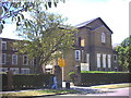
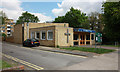
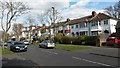
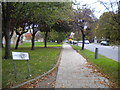
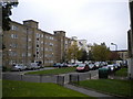
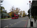
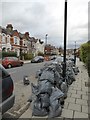
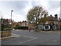
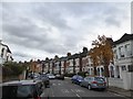
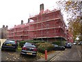
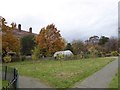
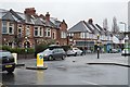
73 photos from this area
Area Information
Key information about the SW12 0DA including its size, population, and administrative classification.
- Area Type
- Postcode
- Area Size
- 2524 m²
- Population
- 1721
- Population Density
- 21812 people/km²
House Prices in SW12 0DA
13
Properties
£796,286
Average Sold Price
£425,000
Lowest Price
£1,200,000
Highest Price
Showing 13 properties
| Address | Type | Beds | Baths | Last Sale Price | Last Sale Date | |
|---|---|---|---|---|---|---|
| 178 Cavendish Road, London, SW12 0DA | Terraced | 5 | 2 | £1,200,000 | Oct 2024 | |
| 180 Cavendish Road, London, SW12 0DA | house | 5 | 2 | £1,200,000 | Jan 2018 | |
| 186 Cavendish Road, London, SW12 0DA | Terraced | 5 | - | £979,000 | Jan 2014 | |
| 170 Cavendish Road, London, SW12 0DA | house | 4 | 2 | £615,000 | Jul 2009 | |
| 174 Cavendish Road, London, SW12 0DA | Terraced | - | - | £730,000 | Jul 2008 | |
| 172 Cavendish Road, London, SW12 0DA | Terraced | - | - | £425,000 | Jul 2002 | |
| 182 Cavendish Road, London, SW12 0DA | house | - | - | £425,000 | Jun 2002 | |
| 166 Cavendish Road, London, SW12 0DA | Terraced | 5 | - | - | - | |
| 176 Cavendish Road, London, SW12 0DA | Terraced | - | - | - | - | |
| 188 Cavendish Road, London, SW12 0DA | Terraced | - | - | - | - |
Page 1 of 2
Energy Efficiency in SW12 0DA
Amenities
Schools
| Rank | School | Type | Entry gender | Ages |
|---|
Explore more schools in this area
Go to Schools tabDemographics
Household Size
Family (3-5 people)
most common
Accommodation Type
Flats
most common
Tenure
51
majority
Ethnic Group
White
most common
Religion
N/A
most common
Household Composition
N/A
most common
Age
22
median
Young Adults (15-29 years)
most common
Household Deprivation
N/A
with no deprivation
NS-SEC
72
in Lower managerial occupations
Explore more demographic insights in this area
Go to Demographics tabPlanning
Planning Constraints
- Flood RiskPremium
- Ramsar Wetland SitesPremium
- Area of Outstanding Natural BeautyPremium
- Protected Nature ReservePremium
- Protected WoodlandPremium