Area Overview for SW11 5XF
Photos of SW11 5XF
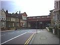
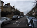
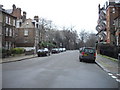
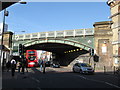
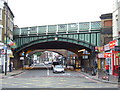
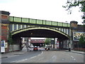
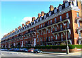
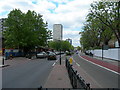
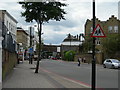
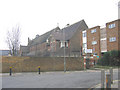
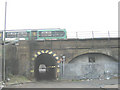
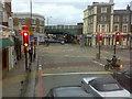
100 photos from this area
Area Information
Key information about the SW11 5XF including its size, population, and administrative classification.
- Area Type
- Postcode
- Area Size
- 2809 m²
- Population
- 1850
- Population Density
- 12946 people/km²
House Prices in SW11 5XF
23
Properties
£829,739
Average Sold Price
£335,885
Lowest Price
£1,176,500
Highest Price
Showing 23 properties
| Address | Type | Beds | Baths | Last Sale Price | Last Sale Date | |
|---|---|---|---|---|---|---|
| 2 Birley Street, London, SW11 5XF | Terraced | 2 | 1 | £715,000 | Feb 2025 | |
| 22 Birley Street, London, SW11 5XF | Terraced | 2 | 1 | £335,885 | Jan 2025 | |
| 16 Birley Street, London, SW11 5XF | house | - | - | £1,176,500 | Jun 2024 | |
| 42 Birley Street, London, SW11 5XF | Terraced | 3 | 1 | £750,000 | Mar 2024 | |
| 26 Birley Street, London, SW11 5XF | Retail | 2 | 1 | £820,000 | Nov 2022 | |
| 10 Birley Street, London, SW11 5XF | Terraced | 3 | 2 | £980,000 | Dec 2021 | |
| 8 Birley Street, London, SW11 5XF | Terraced | 2 | 1 | £1,000,000 | Oct 2021 | |
| 6 Birley Street, London, SW11 5XF | house | 3 | 1 | £1,025,000 | Nov 2018 | |
| 32 Birley Street, London, SW11 5XF | Terraced | 2 | - | £780,000 | Feb 2016 | |
| 36 Birley Street, London, SW11 5XF | Terraced | 3 | 2 | £715,000 | Sep 2014 |
Page 1 of 3
Energy Efficiency in SW11 5XF
Amenities
Schools
| Rank | School | Type | Entry gender | Ages |
|---|
Explore more schools in this area
Go to Schools tabDemographics
Household Size
Two person
most common
Accommodation Type
Houses
most common
Tenure
32
majority
Ethnic Group
White
most common
Religion
N/A
most common
Household Composition
N/A
most common
Age
47
median
Adults (30-64 years)
most common
Household Deprivation
N/A
with no deprivation
NS-SEC
41
in Lower managerial occupations
Explore more demographic insights in this area
Go to Demographics tabPlanning
Planning Constraints
- Flood RiskPremium
- Ramsar Wetland SitesPremium
- Area of Outstanding Natural BeautyPremium
- Protected Nature ReservePremium
- Protected WoodlandPremium