Area Overview for SM6 7LP
Photos of SM6 7LP
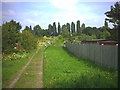
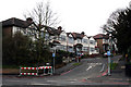
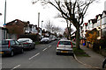
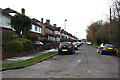
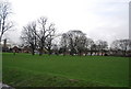
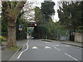
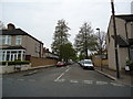
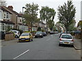
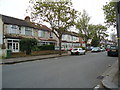
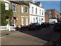
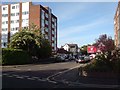
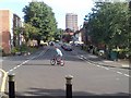
47 photos from this area
Area Information
Key information about the SM6 7LP including its size, population, and administrative classification.
- Area Type
- Postcode
- Area Size
- 1.1 hectares
- Population
- 1365
- Population Density
- 6035 people/km²
House Prices in SM6 7LP
27
Properties
£191,844
Average Sold Price
£86,500
Lowest Price
£345,000
Highest Price
Showing 27 properties
| Address | Type | Beds | Baths | Last Sale Price | Last Sale Date | |
|---|---|---|---|---|---|---|
| 28 Bond Gardens, Wallington, SM6 7LP | Maisonette | 2 | 1 | £330,000 | Jun 2024 | |
| 14 Bond Gardens, Wallington, SM6 7LP | Maisonette | 2 | 1 | £345,000 | May 2023 | |
| 30 Bond Gardens, Wallington, SM6 7LP | Maisonette | 2 | 1 | £290,000 | Nov 2019 | |
| 50 Bond Gardens, Wallington, SM6 7LP | Maisonette | 2 | 1 | £288,000 | Mar 2017 | |
| 20 Bond Gardens, Wallington, SM6 7LP | house | - | - | £210,000 | Nov 2014 | |
| 52 Bond Gardens, Wallington, SM6 7LP | Flat | - | - | £175,000 | Mar 2012 | |
| 46 Bond Gardens, Wallington, SM6 7LP | Maisonette | 2 | 1 | £122,000 | May 2009 | |
| 48 Bond Gardens, Wallington, SM6 7LP | Flat | - | - | £155,000 | Sep 2008 | |
| 22 Bond Gardens, Wallington, SM6 7LP | Flat | 2 | 1 | £171,000 | Feb 2007 | |
| 44 Bond Gardens, Wallington, SM6 7LP | Bungalow | - | - | £171,000 | Jul 2006 |
Page 1 of 3
Energy Efficiency in SM6 7LP
Amenities
Schools
| Rank | School | Type | Entry gender | Ages |
|---|
Explore more schools in this area
Go to Schools tabDemographics
Household Size
Family (3-5 people)
most common
Accommodation Type
Houses
most common
Tenure
75
majority
Ethnic Group
White
most common
Religion
N/A
most common
Household Composition
N/A
most common
Age
47
median
Adults (30-64 years)
most common
Household Deprivation
N/A
with no deprivation
NS-SEC
37
in Lower managerial occupations
Explore more demographic insights in this area
Go to Demographics tabPlanning
Planning Constraints
- Flood RiskPremium
- Ramsar Wetland SitesPremium
- Area of Outstanding Natural BeautyPremium
- Protected Nature ReservePremium
- Protected WoodlandPremium