Area Overview for SM3 9UN
Photos of SM3 9UN
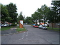
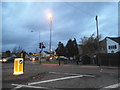
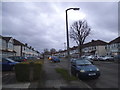
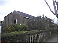
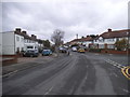
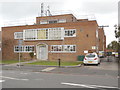
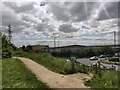
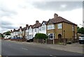
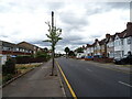
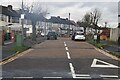
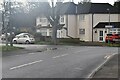
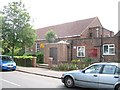
38 photos from this area
Area Information
Key information about the SM3 9UN including its size, population, and administrative classification.
- Area Type
- Postcode
- Area Size
- 8809 m²
- Population
- 1486
- Population Density
- 8690 people/km²
House Prices in SM3 9UN
27
Properties
£334,168
Average Sold Price
£83,000
Lowest Price
£705,000
Highest Price
Showing 27 properties
| Address | Type | Beds | Baths | Last Sale Price | Last Sale Date | |
|---|---|---|---|---|---|---|
| 38 Molesey Drive, North Cheam, SM3 9UN | Detached | 4 | 2 | £705,000 | Oct 2023 | |
| 46 Molesey Drive, North Cheam, SM3 9UN | Terraced | 3 | 1 | £580,000 | Oct 2022 | |
| 48 Molesey Drive, North Cheam, SM3 9UN | Terraced | 4 | 2 | £550,000 | Feb 2021 | |
| 31 Molesey Drive, North Cheam, SM3 9UN | Terraced | 3 | 1 | £395,000 | Jul 2019 | |
| 58 Molesey Drive, North Cheam, SM3 9UN | Terraced | 3 | 1 | £420,000 | Nov 2018 | |
| 64 Molesey Drive, North Cheam, SM3 9UN | Terraced | 3 | 1 | £415,000 | Nov 2018 | |
| 62 Molesey Drive, North Cheam, SM3 9UN | house | 3 | 1 | £447,000 | Jul 2018 | |
| 52 Molesey Drive, North Cheam, SM3 9UN | Terraced | 3 | - | £445,000 | Sep 2017 | |
| 44 Molesey Drive, North Cheam, SM3 9UN | Terraced | 3 | 1 | £460,000 | May 2017 | |
| 29 Molesey Drive, North Cheam, SM3 9UN | Terraced | 5 | 3 | £362,000 | Feb 2015 |
Page 1 of 3
Energy Efficiency in SM3 9UN
Amenities
Schools
| Rank | School | Type | Entry gender | Ages |
|---|
Explore more schools in this area
Go to Schools tabDemographics
Household Size
Family (3-5 people)
most common
Accommodation Type
Houses
most common
Tenure
94
majority
Ethnic Group
White
most common
Religion
N/A
most common
Household Composition
N/A
most common
Age
47
median
Adults (30-64 years)
most common
Household Deprivation
N/A
with no deprivation
NS-SEC
37
in Lower managerial occupations
Explore more demographic insights in this area
Go to Demographics tabPlanning
Planning Constraints
- Flood RiskPremium
- Ramsar Wetland SitesPremium
- Area of Outstanding Natural BeautyPremium
- Protected Nature ReservePremium
- Protected WoodlandPremium