Area Overview for SM2 7EH
Photos of SM2 7EH
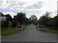
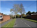
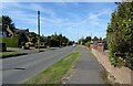
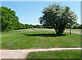
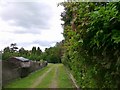
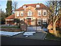
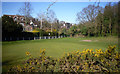
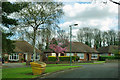
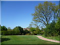
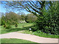
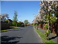
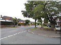
22 photos from this area
Area Information
Key information about the SM2 7EH including its size, population, and administrative classification.
- Area Type
- Postcode
- Area Size
- 3.1 hectares
- Population
- 1780
- Population Density
- 1154 people/km²
House Prices in SM2 7EH
20
Properties
£793,000
Average Sold Price
£425,000
Lowest Price
£1,575,000
Highest Price
Showing 20 properties
| Address | Type | Beds | Baths | Last Sale Price | Last Sale Date | |
|---|---|---|---|---|---|---|
| 33 Downs Side, Cheam, SM2 7EH | house | - | - | £1,575,000 | Jul 2022 | |
| 35 Downs Side, Cheam, SM2 7EH | Bungalow | - | - | £920,000 | Feb 2020 | |
| 7 Downs Side, Cheam, SM2 7EH | Detached | 4 | 2 | £900,000 | Jan 2018 | |
| 5 Downs Side, Cheam, SM2 7EH | Bungalow | - | - | £845,000 | Dec 2015 | |
| 29 Downs Side, Cheam, SM2 7EH | house | 3 | - | £730,000 | Dec 2010 | |
| 19 Downs Side, Cheam, SM2 7EH | Detached | - | - | £1,020,000 | Oct 2003 | |
| 31 Downs Side, Cheam, SM2 7EH | Detached | - | - | £565,000 | Dec 2001 | |
| 25A Downs Side, Cheam, SM2 7EH | Detached | - | - | £425,000 | Dec 2001 | |
| 11A Downs Side, Cheam, SM2 7EH | Detached | - | - | £475,000 | Feb 1999 | |
| 11 Downs Side, Cheam, SM2 7EH | Detached | 4 | 4 | £475,000 | Nov 1998 |
Page 1 of 2
Energy Efficiency in SM2 7EH
Amenities
Schools
| Rank | School | Type | Entry gender | Ages |
|---|
Explore more schools in this area
Go to Schools tabDemographics
Household Size
Family (3-5 people)
most common
Accommodation Type
Houses
most common
Tenure
94
majority
Ethnic Group
White
most common
Religion
N/A
most common
Household Composition
N/A
most common
Age
47
median
Adults (30-64 years)
most common
Household Deprivation
N/A
with no deprivation
NS-SEC
50
in Lower managerial occupations
Explore more demographic insights in this area
Go to Demographics tabPlanning
Planning Constraints
- Flood RiskPremium
- Ramsar Wetland SitesPremium
- Area of Outstanding Natural BeautyPremium
- Protected Nature ReservePremium
- Protected WoodlandPremium