Area Overview for SM1 4JJ
Photos of SM1 4JJ

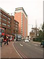
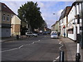
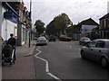
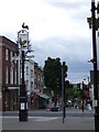
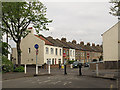
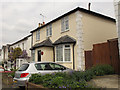

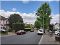


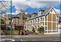
54 photos from this area
Area Information
Key information about the SM1 4JJ including its size, population, and administrative classification.
- Area Type
- Postcode
- Area Size
- 945 m²
- Population
- 2556
- Population Density
- 11032 people/km²
House Prices in SM1 4JJ
14
Properties
£123,232
Average Sold Price
£39,000
Lowest Price
£355,000
Highest Price
Showing 14 properties
| Address | Type | Beds | Baths | Last Sale Price | Last Sale Date | |
|---|---|---|---|---|---|---|
| 65 Turnpike Lane, Sutton, SM1 4JJ | Flat | - | 1 | £155,000 | Apr 2024 | |
| 67 Turnpike Lane, Sutton, SM1 4JJ | Flat | - | - | £175,000 | Apr 2020 | |
| 60 Turnpike Lane, Sutton, SM1 4JJ | Semi-detached | 3 | 1 | £355,000 | Jan 2017 | |
| 70 Turnpike Lane, Sutton, SM1 4JJ | Flat | 1 | - | £182,000 | Sep 2015 | |
| 68 Turnpike Lane, Sutton, SM1 4JJ | Flat | - | 1 | £103,500 | Jul 2013 | |
| 62 Turnpike Lane, Sutton, SM1 4JJ | Flat | - | 1 | £91,500 | Sep 2012 | |
| 66 Turnpike Lane, Sutton, SM1 4JJ | Flat | - | - | £112,250 | Feb 2008 | |
| 64 Turnpike Lane, Sutton, SM1 4JJ | Flat | 1 | 1 | £112,000 | Aug 2004 | |
| 72 Turnpike Lane, Sutton, SM1 4JJ | Flat | - | - | £137,500 | Jul 2003 | |
| 71 Turnpike Lane, Sutton, SM1 4JJ | Flat | - | - | £77,500 | Jan 2000 |
Page 1 of 2
Energy Efficiency in SM1 4JJ
Amenities
Schools
| Rank | School | Type | Entry gender | Ages |
|---|
Explore more schools in this area
Go to Schools tabDemographics
Household Size
One person
most common
Accommodation Type
Flats
most common
Tenure
43
majority
Ethnic Group
White
most common
Religion
N/A
most common
Household Composition
N/A
most common
Age
47
median
Adults (30-64 years)
most common
Household Deprivation
N/A
with no deprivation
NS-SEC
50
in Lower managerial occupations
Explore more demographic insights in this area
Go to Demographics tabPlanning
Planning Constraints
- Flood RiskPremium
- Ramsar Wetland SitesPremium
- Area of Outstanding Natural BeautyPremium
- Protected Nature ReservePremium
- Protected WoodlandPremium