Area Overview for SM1 3SH
Photos of SM1 3SH
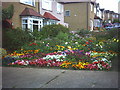
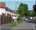
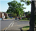
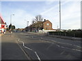
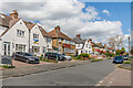
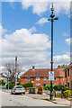
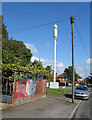
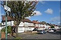

40 photos from this area
Area Information
Key information about the SM1 3SH including its size, population, and administrative classification.
- Area Type
- Postcode
- Area Size
- 7133 m²
- Population
- 1862
- Population Density
- 6795 people/km²
House Prices in SM1 3SH
27
Properties
£225,875
Average Sold Price
£50,000
Lowest Price
£450,000
Highest Price
Showing 27 properties
| Address | Type | Beds | Baths | Last Sale Price | Last Sale Date | |
|---|---|---|---|---|---|---|
| 11 Stanmore Gardens, Sutton, SM1 3SH | Flat | - | - | £260,000 | Feb 2025 | |
| 23 Stanmore Gardens, Sutton, SM1 3SH | Terraced | 3 | - | £450,000 | Nov 2020 | |
| 7 Stanmore Gardens, Sutton, SM1 3SH | Flat | - | - | £280,000 | Jan 2019 | |
| 19 Stanmore Gardens, Sutton, SM1 3SH | Flat | - | - | £275,000 | Mar 2018 | |
| 22 Stanmore Gardens, Sutton, SM1 3SH | Terraced | 3 | 1 | £355,000 | Aug 2016 | |
| 1 Stanmore Gardens, Sutton, SM1 3SH | Flat | - | - | £276,000 | Feb 2016 | |
| 16 Stanmore Gardens, Sutton, SM1 3SH | Flat | - | - | £266,000 | Oct 2015 | |
| 9 Stanmore Gardens, Sutton, SM1 3SH | Flat | - | - | £140,000 | Nov 2008 | |
| 6 Stanmore Gardens, Sutton, SM1 3SH | Flat | - | - | £139,000 | Apr 2004 | |
| 5 Stanmore Gardens, Sutton, SM1 3SH | Flat | - | - | £115,000 | Feb 2003 |
Page 1 of 3
Energy Efficiency in SM1 3SH
Amenities
Schools
| Rank | School | Type | Entry gender | Ages |
|---|
Explore more schools in this area
Go to Schools tabDemographics
Household Size
Family (3-5 people)
most common
Accommodation Type
Flats
most common
Tenure
69
majority
Ethnic Group
White
most common
Religion
N/A
most common
Household Composition
N/A
most common
Age
47
median
Adults (30-64 years)
most common
Household Deprivation
N/A
with no deprivation
NS-SEC
34
in Lower managerial occupations
Explore more demographic insights in this area
Go to Demographics tabPlanning
Planning Constraints
- Flood RiskPremium
- Ramsar Wetland SitesPremium
- Area of Outstanding Natural BeautyPremium
- Protected Nature ReservePremium
- Protected WoodlandPremium