Area Overview for SM1 3LD
Photos of SM1 3LD
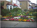
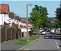
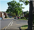
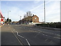
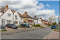
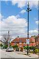
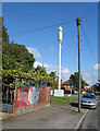
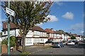
40 photos from this area
Area Information
Key information about the SM1 3LD including its size, population, and administrative classification.
- Area Type
- Postcode
- Area Size
- 1.6 hectares
- Population
- 1770
- Population Density
- 4349 people/km²
House Prices in SM1 3LD
37
Properties
£411,585
Average Sold Price
£73,000
Lowest Price
£670,100
Highest Price
Showing 37 properties
| Address | Type | Beds | Baths | Last Sale Price | Last Sale Date | |
|---|---|---|---|---|---|---|
| 9 Aultone Way, Sutton, SM1 3LD | Bungalow | 4 | 2 | £550,000 | Sep 2025 | |
| 53 Aultone Way, Sutton, SM1 3LD | Semi-detached | 3 | 1 | £670,100 | Sep 2023 | |
| 35 Aultone Way, Sutton, SM1 3LD | Detached | 4 | 1 | £659,200 | Aug 2023 | |
| 41 Aultone Way, Sutton, SM1 3LD | house | - | - | £643,000 | Mar 2023 | |
| 39 Aultone Way, Sutton, SM1 3LD | Detached | 4 | 1 | £660,000 | May 2022 | |
| 15 Aultone Way, Sutton, SM1 3LD | house | - | - | £637,000 | Jun 2021 | |
| 25 Aultone Way, Sutton, SM1 3LD | Semi-detached | 5 | 1 | £600,000 | Dec 2019 | |
| 23 Aultone Way, Sutton, SM1 3LD | Semi-detached | 3 | 1 | £525,000 | Oct 2019 | |
| 31 Aultone Way, Sutton, SM1 3LD | Detached | 4 | 1 | £515,000 | Aug 2019 | |
| 19 Aultone Way, Sutton, SM1 3LD | Semi-detached | 3 | 1 | £451,000 | Mar 2019 |
Page 1 of 4
Energy Efficiency in SM1 3LD
Amenities
Schools
| Rank | School | Type | Entry gender | Ages |
|---|
Explore more schools in this area
Go to Schools tabDemographics
Household Size
Family (3-5 people)
most common
Accommodation Type
Houses
most common
Tenure
83
majority
Ethnic Group
White
most common
Religion
N/A
most common
Household Composition
N/A
most common
Age
47
median
Adults (30-64 years)
most common
Household Deprivation
N/A
with no deprivation
NS-SEC
40
in Lower managerial occupations
Explore more demographic insights in this area
Go to Demographics tabPlanning
Planning Constraints
- Flood RiskPremium
- Ramsar Wetland SitesPremium
- Area of Outstanding Natural BeautyPremium
- Protected Nature ReservePremium
- Protected WoodlandPremium