Area Overview for SM1 3AA
Photos of SM1 3AA
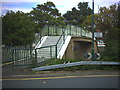
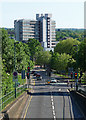
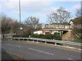
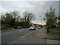
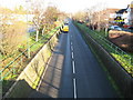
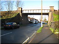
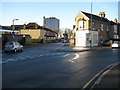
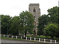
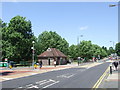
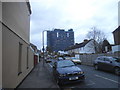
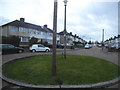
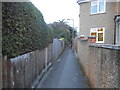
64 photos from this area
Area Information
Key information about the SM1 3AA including its size, population, and administrative classification.
- Area Type
- Postcode
- Area Size
- 1.2 hectares
- Population
- 1862
- Population Density
- 6795 people/km²
House Prices in SM1 3AA
54
Properties
£295,417
Average Sold Price
£800
Lowest Price
£560,000
Highest Price
Showing 54 properties
| Address | Type | Beds | Baths | Last Sale Price | Last Sale Date | |
|---|---|---|---|---|---|---|
| 81 Oakhill Road, Sutton, SM1 3AA | Detached | 3 | 1 | £500,000 | Oct 2025 | |
| 63 Oakhill Road, Sutton, SM1 3AA | Terraced | 3 | - | £518,000 | Sep 2024 | |
| 61 Oakhill Road, Sutton, SM1 3AA | Terraced | 2 | 2 | £414,000 | Aug 2024 | |
| 15 Oakhill Road, Sutton, SM1 3AA | Terraced | 2 | 1 | £435,000 | Nov 2022 | |
| 53 Oakhill Road, Sutton, SM1 3AA | Maisonette | 2 | 1 | £320,000 | Aug 2022 | |
| 17 Oakhill Road, Sutton, SM1 3AA | Terraced | 2 | 2 | £405,000 | Jan 2022 | |
| 83 Oakhill Road, Sutton, SM1 3AA | house | - | - | £560,000 | Dec 2021 | |
| 23 Oakhill Road, Sutton, SM1 3AA | Terraced | 2 | 1 | £800 | Jul 2021 | |
| 65 Oakhill Road, Sutton, SM1 3AA | Terraced | 2 | 1 | £426,000 | May 2021 | |
| 21 Oakhill Road, Sutton, SM1 3AA | Terraced | 2 | 1 | £322,000 | Oct 2019 |
Page 1 of 6
Energy Efficiency in SM1 3AA
Amenities
Schools
| Rank | School | Type | Entry gender | Ages |
|---|
Explore more schools in this area
Go to Schools tabDemographics
Household Size
Family (3-5 people)
most common
Accommodation Type
Flats
most common
Tenure
69
majority
Ethnic Group
White
most common
Religion
N/A
most common
Household Composition
N/A
most common
Age
47
median
Adults (30-64 years)
most common
Household Deprivation
N/A
with no deprivation
NS-SEC
34
in Lower managerial occupations
Explore more demographic insights in this area
Go to Demographics tabPlanning
Planning Constraints
- Flood RiskPremium
- Ramsar Wetland SitesPremium
- Area of Outstanding Natural BeautyPremium
- Protected Nature ReservePremium
- Protected WoodlandPremium