Area Overview for SM1 2JD
Photos of SM1 2JD

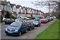
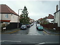
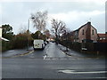
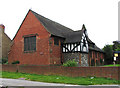
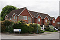
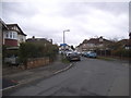
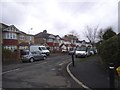
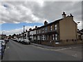
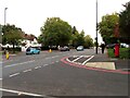
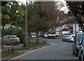
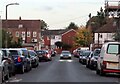
34 photos from this area
Area Information
Key information about the SM1 2JD including its size, population, and administrative classification.
- Area Type
- Postcode
- Area Size
- 1.3 hectares
- Population
- 1650
- Population Density
- 4837 people/km²
House Prices in SM1 2JD
40
Properties
£343,998
Average Sold Price
£73,000
Lowest Price
£800,000
Highest Price
Showing 40 properties
| Address | Type | Beds | Baths | Last Sale Price | Last Sale Date | |
|---|---|---|---|---|---|---|
| 34 Hilldale Road, Cheam, SM1 2JD | Maisonette | 2 | 1 | £375,500 | Mar 2025 | |
| 48 Hilldale Road, Cheam, SM1 2JD | Maisonette | - | - | £378,000 | Aug 2023 | |
| 14 Hilldale Road, Cheam, SM1 2JD | Detached | 4 | 1 | £641,624 | Jun 2023 | |
| 16A Hilldale Road, Cheam, SM1 2JD | Semi-detached | 3 | 1 | £585,000 | May 2023 | |
| 18 Hilldale Road, Cheam, SM1 2JD | Detached | 4 | 3 | £800,000 | Feb 2023 | |
| 44 Hilldale Road, Cheam, SM1 2JD | Semi-detached | 2 | 1 | £488,499 | Jul 2022 | |
| 50 Hilldale Road, Cheam, SM1 2JD | Maisonette | - | - | £183,333 | Aug 2021 | |
| Fox Trot Cottage, 76A Hilldale Road, Cheam, SM1 2JD | Bungalow | 2 | 1 | £410,000 | Mar 2021 | |
| 28 Hilldale Road, Cheam, SM1 2JD | Detached | 3 | 1 | £487,500 | Jul 2020 | |
| 52 Hilldale Road, Cheam, SM1 2JD | house | - | - | £426,000 | Feb 2020 |
Page 1 of 4
Energy Efficiency in SM1 2JD
Amenities
Schools
| Rank | School | Type | Entry gender | Ages |
|---|
Explore more schools in this area
Go to Schools tabDemographics
Household Size
Family (3-5 people)
most common
Accommodation Type
Houses
most common
Tenure
81
majority
Ethnic Group
White
most common
Religion
N/A
most common
Household Composition
N/A
most common
Age
47
median
Adults (30-64 years)
most common
Household Deprivation
N/A
with no deprivation
NS-SEC
34
in Lower managerial occupations
Explore more demographic insights in this area
Go to Demographics tabPlanning
Planning Constraints
- Flood RiskPremium
- Ramsar Wetland SitesPremium
- Area of Outstanding Natural BeautyPremium
- Protected Nature ReservePremium
- Protected WoodlandPremium