Area Overview for SE9 5LW
Photos of SE9 5LW
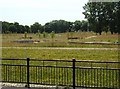
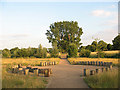
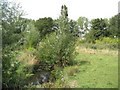
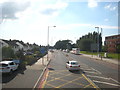
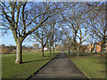
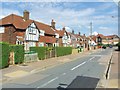
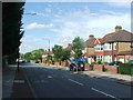
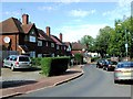
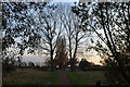
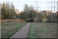
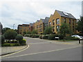
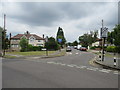
100 photos from this area
Area Information
Key information about the SE9 5LW including its size, population, and administrative classification.
- Area Type
- Postcode
- Area Size
- 9.4 hectares
- Population
- 1301
- Population Density
- 4860 people/km²
House Prices in SE9 5LW
13
Properties
£391,800
Average Sold Price
£136,000
Lowest Price
£585,000
Highest Price
Showing 13 properties
| Address | Type | Beds | Baths | Last Sale Price | Last Sale Date | |
|---|---|---|---|---|---|---|
| 146 Eltham Road, Eltham, SE9 5LW | Semi-detached | 3 | 1 | £580,000 | May 2024 | |
| 134 Eltham Road, Eltham, SE9 5LW | house | - | - | £585,000 | May 2021 | |
| 148 Eltham Road, Eltham, SE9 5LW | house | - | - | £497,000 | Mar 2021 | |
| 138 Eltham Road, Eltham, SE9 5LW | Semi-detached | 3 | 1 | £490,000 | Sep 2016 | |
| 144 Eltham Road, Eltham, SE9 5LW | Semi-detached | 3 | - | £385,000 | Feb 2015 | |
| 142 Eltham Road, Eltham, SE9 5LW | Semi-detached | 3 | - | £400,000 | Jul 2014 | |
| 136 Eltham Road, Eltham, SE9 5LW | Semi-detached | 3 | - | £380,000 | Feb 2014 | |
| 130 Eltham Road, Eltham, SE9 5LW | Semi-detached | - | - | £270,000 | Jul 2007 | |
| 128A Eltham Road, Eltham, SE9 5LW | Flat | - | - | £195,000 | Feb 2002 | |
| 132 Eltham Road, Eltham, SE9 5LW | Semi-detached | - | - | £136,000 | Jul 1999 |
Page 1 of 2
Energy Efficiency in SE9 5LW
Amenities
Schools
| Rank | School | Type | Entry gender | Ages |
|---|
Explore more schools in this area
Go to Schools tabDemographics
Household Size
Two person
most common
Accommodation Type
Flats
most common
Tenure
48
majority
Ethnic Group
White
most common
Religion
N/A
most common
Household Composition
N/A
most common
Age
47
median
Adults (30-64 years)
most common
Household Deprivation
N/A
with no deprivation
NS-SEC
67
in Lower managerial occupations
Explore more demographic insights in this area
Go to Demographics tabPlanning
Planning Constraints
- Flood RiskPremium
- Ramsar Wetland SitesPremium
- Area of Outstanding Natural BeautyPremium
- Protected Nature ReservePremium
- Protected WoodlandPremium