Area Overview for SE9 5LT
Photos of SE9 5LT
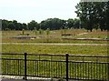
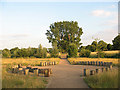
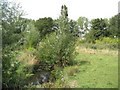
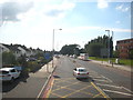
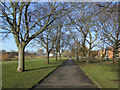
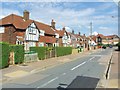
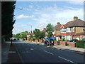
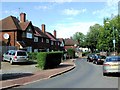
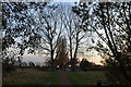
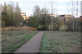
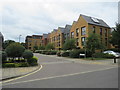
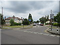
100 photos from this area
Area Information
Key information about the SE9 5LT including its size, population, and administrative classification.
- Area Type
- Postcode
- Area Size
- 4.7 hectares
- Population
- 1664
- Population Density
- 3657 people/km²
House Prices in SE9 5LT
47
Properties
£354,823
Average Sold Price
£110,000
Lowest Price
£614,000
Highest Price
Showing 47 properties
| Address | Type | Beds | Baths | Last Sale Price | Last Sale Date | |
|---|---|---|---|---|---|---|
| 426 Westhorne Avenue, Eltham, SE9 5LT | Detached | 5 | 2 | £614,000 | Jan 2025 | |
| 476 Westhorne Avenue, Eltham, SE9 5LT | Semi-detached | 3 | 2 | £530,000 | Jul 2023 | |
| 472 Westhorne Avenue, Eltham, SE9 5LT | house | - | - | £403,000 | Jan 2021 | |
| 440 Westhorne Avenue, Eltham, SE9 5LT | house | - | - | £485,000 | Apr 2019 | |
| 416 Westhorne Avenue, Eltham, SE9 5LT | Semi-detached | 3 | 1 | £500,000 | May 2018 | |
| 406 Westhorne Avenue, Eltham, SE9 5LT | Detached | 3 | 1 | £520,000 | Jun 2017 | |
| 452 Westhorne Avenue, Eltham, SE9 5LT | Semi-detached | - | - | £326,000 | Jun 2017 | |
| 448 Westhorne Avenue, Eltham, SE9 5LT | house | 3 | - | £440,000 | Jul 2015 | |
| 408 Westhorne Avenue, Eltham, SE9 5LT | Detached | 3 | - | £470,000 | Jun 2014 | |
| 474 Westhorne Avenue, Eltham, SE9 5LT | Semi-detached | 4 | 1 | £292,510 | Feb 2014 |
Page 1 of 5
Energy Efficiency in SE9 5LT
Amenities
Schools
| Rank | School | Type | Entry gender | Ages |
|---|
Explore more schools in this area
Go to Schools tabDemographics
Household Size
Family (3-5 people)
most common
Accommodation Type
Houses
most common
Tenure
54
majority
Ethnic Group
White
most common
Religion
N/A
most common
Household Composition
N/A
most common
Age
47
median
Adults (30-64 years)
most common
Household Deprivation
N/A
with no deprivation
NS-SEC
27
in Lower managerial occupations
Explore more demographic insights in this area
Go to Demographics tabPlanning
Planning Constraints
- Flood RiskPremium
- Ramsar Wetland SitesPremium
- Area of Outstanding Natural BeautyPremium
- Protected Nature ReservePremium
- Protected WoodlandPremium