Area Overview for SE9 3XD
Photos of SE9 3XD
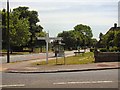
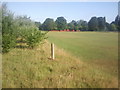
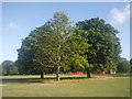
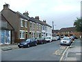
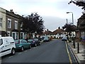
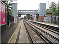
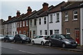
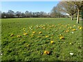

37 photos from this area
Area Information
Key information about the SE9 3XD including its size, population, and administrative classification.
- Area Type
- Postcode
- Area Size
- 4.2 hectares
- Population
- 1609
- Population Density
- 3459 people/km²
House Prices in SE9 3XD
38
Properties
£399,976
Average Sold Price
£100,000
Lowest Price
£780,000
Highest Price
Showing 38 properties
| Address | Type | Beds | Baths | Last Sale Price | Last Sale Date | |
|---|---|---|---|---|---|---|
| 36 Broad Lawn, Eltham, SE9 3XD | Semi-detached | 3 | 2 | £780,000 | Aug 2022 | |
| 20 Broad Lawn, Eltham, SE9 3XD | house | - | - | £701,000 | Jun 2021 | |
| 18 Broad Lawn, Eltham, SE9 3XD | Semi-detached | 4 | - | £660,000 | Dec 2020 | |
| 4 Broad Lawn, Eltham, SE9 3XD | Detached | 4 | 2 | £680,000 | Feb 2020 | |
| 66 Broad Lawn, Eltham, SE9 3XD | Semi-detached | 4 | 2 | £580,000 | Sep 2019 | |
| 70 Broad Lawn, Eltham, SE9 3XD | Semi-detached | 3 | 1 | £510,000 | Jul 2017 | |
| 54 Broad Lawn, Eltham, SE9 3XD | house | - | - | £520,000 | Nov 2015 | |
| 32 Broad Lawn, Eltham, SE9 3XD | Semi-detached | 3 | - | £400,000 | Mar 2015 | |
| 30 Broad Lawn, Eltham, SE9 3XD | Semi-detached | 3 | - | £440,000 | Dec 2014 | |
| 38 Broad Lawn, Eltham, SE9 3XD | Semi-detached | 4 | 2 | £435,000 | May 2014 |
Page 1 of 4
Energy Efficiency in SE9 3XD
Amenities
Schools
| Rank | School | Type | Entry gender | Ages |
|---|
Explore more schools in this area
Go to Schools tabDemographics
Household Size
Family (3-5 people)
most common
Accommodation Type
Houses
most common
Tenure
80
majority
Ethnic Group
White
most common
Religion
N/A
most common
Household Composition
N/A
most common
Age
47
median
Adults (30-64 years)
most common
Household Deprivation
N/A
with no deprivation
NS-SEC
42
in Lower managerial occupations
Explore more demographic insights in this area
Go to Demographics tabPlanning
Planning Constraints
- Flood RiskPremium
- Ramsar Wetland SitesPremium
- Area of Outstanding Natural BeautyPremium
- Protected Nature ReservePremium
- Protected WoodlandPremium