Area Overview for SE9 3TL
Photos of SE9 3TL
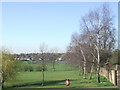
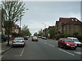
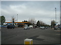
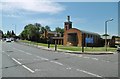
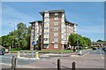
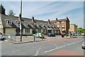
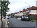
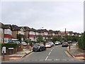
57 photos from this area
Area Information
Key information about the SE9 3TL including its size, population, and administrative classification.
- Area Type
- Postcode
- Area Size
- 2.3 hectares
- Population
- 1677
- Population Density
- 3692 people/km²
House Prices in SE9 3TL
47
Properties
£352,921
Average Sold Price
£47,500
Lowest Price
£600,000
Highest Price
Showing 47 properties
| Address | Type | Beds | Baths | Last Sale Price | Last Sale Date | |
|---|---|---|---|---|---|---|
| 224 Green Lane, Eltham, SE9 3TL | Semi-detached | 1 | 1 | £593,000 | Mar 2025 | |
| 226 Green Lane, Eltham, SE9 3TL | Semi-detached | 3 | 1 | £520,000 | May 2023 | |
| 190 Green Lane, Eltham, SE9 3TL | house | - | - | £595,000 | Dec 2021 | |
| 188 Green Lane, Eltham, SE9 3TL | Semi-detached | 3 | - | £600,000 | Jun 2021 | |
| 220 Green Lane, Eltham, SE9 3TL | house | 3 | 1 | £446,000 | Jul 2018 | |
| 186 Green Lane, Eltham, SE9 3TL | Semi-detached | 3 | - | £520,000 | Jun 2018 | |
| 198 Green Lane, Eltham, SE9 3TL | Semi-detached | 3 | - | £470,000 | Jun 2017 | |
| 202 Green Lane, Eltham, SE9 3TL | Semi-detached | 3 | 1 | £390,000 | Oct 2016 | |
| 212 Green Lane, Eltham, SE9 3TL | Semi-detached | 3 | - | £500,000 | Jul 2016 | |
| 244A Green Lane, Eltham, SE9 3TL | Maisonette | 2 | 1 | £320,000 | Sep 2015 |
Page 1 of 5
Energy Efficiency in SE9 3TL
Amenities
Schools
| Rank | School | Type | Entry gender | Ages |
|---|
Explore more schools in this area
Go to Schools tabDemographics
Household Size
Family (3-5 people)
most common
Accommodation Type
Houses
most common
Tenure
69
majority
Ethnic Group
White
most common
Religion
N/A
most common
Household Composition
N/A
most common
Age
47
median
Adults (30-64 years)
most common
Household Deprivation
N/A
with no deprivation
NS-SEC
32
in Lower managerial occupations
Explore more demographic insights in this area
Go to Demographics tabPlanning
Planning Constraints
- Flood RiskPremium
- Ramsar Wetland SitesPremium
- Area of Outstanding Natural BeautyPremium
- Protected Nature ReservePremium
- Protected WoodlandPremium