Area Overview for SE9 3QP
Photos of SE9 3QP
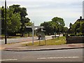
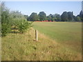
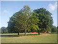
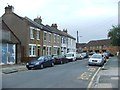
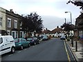
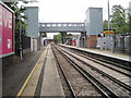
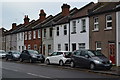
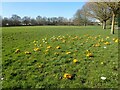
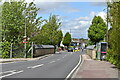

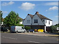
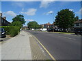
37 photos from this area
Area Information
Key information about the SE9 3QP including its size, population, and administrative classification.
- Area Type
- Postcode
- Area Size
- 2.2 hectares
- Population
- 1509
- Population Density
- 4980 people/km²
House Prices in SE9 3QP
42
Properties
£309,323
Average Sold Price
£119,500
Lowest Price
£665,000
Highest Price
Showing 42 properties
| Address | Type | Beds | Baths | Last Sale Price | Last Sale Date | |
|---|---|---|---|---|---|---|
| 41 Parkview Road, Eltham, SE9 3QP | Maisonette | 2 | 1 | £386,000 | Sep 2025 | |
| 11 Parkview Road, Eltham, SE9 3QP | Retail | 3 | 1 | £665,000 | Feb 2022 | |
| 35 Parkview Road, Eltham, SE9 3QP | house | - | - | £650,000 | Oct 2021 | |
| 65 Parkview Road, Eltham, SE9 3QP | Maisonette | 2 | 1 | £355,000 | Dec 2020 | |
| 51 Parkview Road, Eltham, SE9 3QP | Maisonette | 2 | 1 | £332,000 | Nov 2018 | |
| 57 Parkview Road, Eltham, SE9 3QP | Maisonette | 2 | 1 | £335,000 | May 2018 | |
| 53 Parkview Road, Eltham, SE9 3QP | Maisonette | 2 | - | £318,000 | May 2018 | |
| 21 Parkview Road, Eltham, SE9 3QP | Terraced | 3 | - | £410,000 | Nov 2017 | |
| 63 Parkview Road, Eltham, SE9 3QP | Flat | 2 | - | £345,000 | Aug 2016 | |
| 39 Parkview Road, Eltham, SE9 3QP | Flat | - | - | £303,000 | Aug 2015 |
Page 1 of 5
Energy Efficiency in SE9 3QP
Amenities
Schools
| Rank | School | Type | Entry gender | Ages |
|---|
Explore more schools in this area
Go to Schools tabDemographics
Household Size
Family (3-5 people)
most common
Accommodation Type
Houses
most common
Tenure
65
majority
Ethnic Group
White
most common
Religion
N/A
most common
Household Composition
N/A
most common
Age
47
median
Adults (30-64 years)
most common
Household Deprivation
N/A
with no deprivation
NS-SEC
39
in Lower managerial occupations
Explore more demographic insights in this area
Go to Demographics tabPlanning
Planning Constraints
- Flood RiskPremium
- Ramsar Wetland SitesPremium
- Area of Outstanding Natural BeautyPremium
- Protected Nature ReservePremium
- Protected WoodlandPremium