Area Overview for SE9 2RL
Photos of SE9 2RL
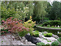
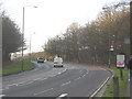
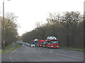
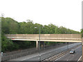
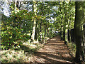
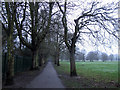
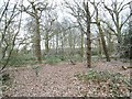
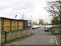
100 photos from this area
Area Information
Key information about the SE9 2RL including its size, population, and administrative classification.
- Area Type
- Postcode
- Area Size
- 1.7 hectares
- Population
- 1766
- Population Density
- 7056 people/km²
House Prices in SE9 2RL
39
Properties
£247,450
Average Sold Price
£55,500
Lowest Price
£520,000
Highest Price
Showing 39 properties
| Address | Type | Beds | Baths | Last Sale Price | Last Sale Date | |
|---|---|---|---|---|---|---|
| 27A Lingfield Crescent, London, SE9 2RL | Maisonette | 2 | 1 | £275,000 | Mar 2025 | |
| 23A Lingfield Crescent, London, SE9 2RL | Maisonette | 2 | 1 | £260,000 | Oct 2024 | |
| 25A Lingfield Crescent, London, SE9 2RL | Maisonette | 2 | - | £255,000 | May 2022 | |
| 45 Lingfield Crescent, London, SE9 2RL | Semi-detached | 3 | 1 | £468,000 | Apr 2021 | |
| 63 Lingfield Crescent, London, SE9 2RL | Semi-detached | 3 | 2 | £478,000 | Dec 2020 | |
| 35 Lingfield Crescent, London, SE9 2RL | house | - | - | £435,000 | Jun 2020 | |
| 19 Lingfield Crescent, London, SE9 2RL | Maisonette | 2 | 1 | £248,000 | Feb 2019 | |
| 33 Lingfield Crescent, London, SE9 2RL | Semi-detached | 4 | 2 | £492,000 | Nov 2018 | |
| 31 Lingfield Crescent, London, SE9 2RL | Semi-detached | 3 | 2 | £520,000 | Dec 2016 | |
| 29 Lingfield Crescent, London, SE9 2RL | Flat | 2 | 1 | £230,000 | Jun 2016 |
Page 1 of 4
Energy Efficiency in SE9 2RL
Amenities
Schools
| Rank | School | Type | Entry gender | Ages |
|---|
Explore more schools in this area
Go to Schools tabDemographics
Household Size
Family (3-5 people)
most common
Accommodation Type
Houses
most common
Tenure
84
majority
Ethnic Group
White
most common
Religion
N/A
most common
Household Composition
N/A
most common
Age
47
median
Adults (30-64 years)
most common
Household Deprivation
N/A
with no deprivation
NS-SEC
36
in Lower managerial occupations
Explore more demographic insights in this area
Go to Demographics tabPlanning
Planning Constraints
- Flood RiskPremium
- Ramsar Wetland SitesPremium
- Area of Outstanding Natural BeautyPremium
- Protected Nature ReservePremium
- Protected WoodlandPremium