Area Overview for SE5 8DL
Photos of SE5 8DL
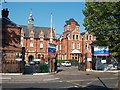
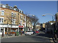
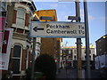
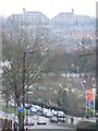
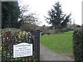
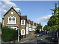
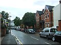
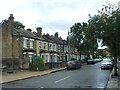
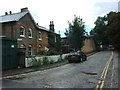
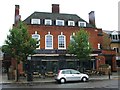
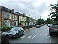
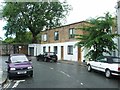
95 photos from this area
Area Information
Key information about the SE5 8DL including its size, population, and administrative classification.
- Area Type
- Postcode
- Area Size
- 1.1 hectares
- Population
- 1587
- Population Density
- 25433 people/km²
House Prices in SE5 8DL
75
Properties
£833,690
Average Sold Price
£228,000
Lowest Price
£1,690,000
Highest Price
Showing 75 properties
| Address | Type | Beds | Baths | Last Sale Price | Last Sale Date | |
|---|---|---|---|---|---|---|
| 17 Bromar Road, London, SE5 8DL | Terraced | 5 | 2 | £1,250,000 | Mar 2025 | |
| 4 Bromar Road, London, SE5 8DL | Semi-detached | 5 | 2 | £1,690,000 | Jan 2024 | |
| 33 Bromar Road, London, SE5 8DL | Terraced | 4 | 2 | £1,000,000 | Dec 2023 | |
| Flat A, 26 Bromar Road, London, SE5 8DL | Flat | - | - | £375,000 | Apr 2022 | |
| 23 Bromar Road, London, SE5 8DL | house | - | - | £1,080,000 | Jun 2021 | |
| 56 Bromar Road, London, SE5 8DL | Terraced | 4 | 3 | £1,200,000 | Jan 2021 | |
| 35 Bromar Road, London, SE5 8DL | Terraced | 4 | 2 | £1,040,000 | Jun 2020 | |
| 54 Bromar Road, London, SE5 8DL | Terraced | 4 | 3 | £1,175,000 | Nov 2018 | |
| 29 Bromar Road, London, SE5 8DL | Terraced | 3 | 1 | £922,000 | Sep 2017 | |
| Flat B, 22 Bromar Road, London, SE5 8DL | Flat | - | - | £376,000 | May 2017 |
Page 1 of 8
Energy Efficiency in SE5 8DL
Amenities
Schools
| Rank | School | Type | Entry gender | Ages |
|---|
Explore more schools in this area
Go to Schools tabDemographics
Household Size
Family (3-5 people)
most common
Accommodation Type
Flats
most common
Tenure
20
majority
Ethnic Group
black_total
most common
Religion
N/A
most common
Household Composition
N/A
most common
Age
47
median
Adults (30-64 years)
most common
Household Deprivation
N/A
with no deprivation
NS-SEC
29
in Lower managerial occupations
Explore more demographic insights in this area
Go to Demographics tabPlanning
Planning Constraints
- Flood RiskPremium
- Ramsar Wetland SitesPremium
- Area of Outstanding Natural BeautyPremium
- Protected Nature ReservePremium
- Protected WoodlandPremium