Area Overview for SE28 8EU
Photos of SE28 8EU
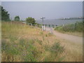
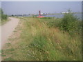
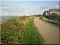
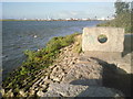
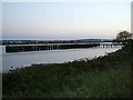
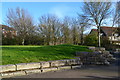
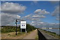
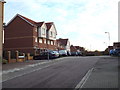
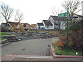
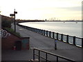
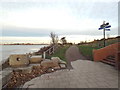
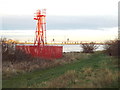
80 photos from this area
Area Information
Key information about the SE28 8EU including its size, population, and administrative classification.
- Area Type
- Postcode
- Area Size
- 7952 m²
- Population
- 1677
- Population Density
- 9750 people/km²
House Prices in SE28 8EU
36
Properties
£187,514
Average Sold Price
£50,000
Lowest Price
£368,000
Highest Price
Showing 36 properties
| Address | Type | Beds | Baths | Last Sale Price | Last Sale Date | |
|---|---|---|---|---|---|---|
| 83 Manordene Road, London, SE28 8EU | Terraced | 2 | 1 | £287,000 | Aug 2025 | |
| 95 Manordene Road, London, SE28 8EU | Semi-detached | 3 | 1 | £360,000 | Mar 2025 | |
| 71 Manordene Road, London, SE28 8EU | Terraced | 3 | 1 | £279,980 | Oct 2024 | |
| 73 Manordene Road, London, SE28 8EU | Terraced | 3 | 1 | £368,000 | Sep 2023 | |
| 91 Manordene Road, London, SE28 8EU | Semi-detached | 3 | - | £350,000 | Aug 2022 | |
| 80 Manordene Road, London, SE28 8EU | Terraced | 2 | 1 | £260,000 | Dec 2021 | |
| 72 Manordene Road, London, SE28 8EU | Terraced | 3 | 2 | £335,000 | Jul 2021 | |
| 87 Manordene Road, London, SE28 8EU | Terraced | 3 | 1 | £292,500 | Jul 2019 | |
| 82 Manordene Road, London, SE28 8EU | Terraced | 2 | - | £220,000 | Jul 2015 | |
| 69 Manordene Road, London, SE28 8EU | Terraced | 3 | - | £164,000 | Feb 2013 |
Page 1 of 4
Energy Efficiency in SE28 8EU
Amenities
Schools
| Rank | School | Type | Entry gender | Ages |
|---|
Explore more schools in this area
Go to Schools tabDemographics
Household Size
Family (3-5 people)
most common
Accommodation Type
Houses
most common
Tenure
44
majority
Ethnic Group
black_total
most common
Religion
N/A
most common
Household Composition
N/A
most common
Age
47
median
Adults (30-64 years)
most common
Household Deprivation
N/A
with no deprivation
NS-SEC
25
in Lower managerial occupations
Explore more demographic insights in this area
Go to Demographics tabPlanning
Planning Constraints
- Flood RiskPremium
- Ramsar Wetland SitesPremium
- Area of Outstanding Natural BeautyPremium
- Protected Nature ReservePremium
- Protected WoodlandPremium