Area Overview for SE26 5HU
Photos of SE26 5HU
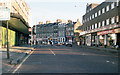
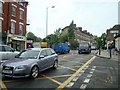
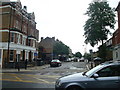
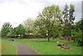
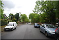
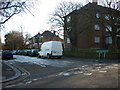
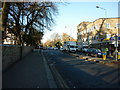


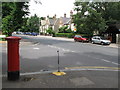
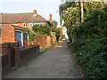
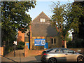
100 photos from this area
Area Information
Key information about the SE26 5HU including its size, population, and administrative classification.
- Area Type
- Postcode
- Area Size
- 1.2 hectares
- Population
- 1848
- Population Density
- 9984 people/km²
House Prices in SE26 5HU
90
Properties
£508,346
Average Sold Price
£150,000
Lowest Price
£1,200,000
Highest Price
Showing 90 properties
| Address | Type | Beds | Baths | Last Sale Price | Last Sale Date | |
|---|---|---|---|---|---|---|
| 91 Venner Road, Sydenham, London, SE26 5HU | Terraced | 4 | 2 | £950,000 | Dec 2025 | |
| 57B Venner Road, Sydenham, London, SE26 5HU | Semi-detached | - | - | £735,000 | May 2024 | |
| 87 Venner Road, Sydenham, London, SE26 5HU | house | 4 | 2 | £910,000 | May 2024 | |
| 129A Venner Road, Sydenham, London, SE26 5HU | Flat | - | - | £385,000 | Jul 2023 | |
| 65 Venner Road, Sydenham, London, SE26 5HU | house | - | - | £805,000 | Sep 2022 | |
| 99 Venner Road, Sydenham, London, SE26 5HU | house | - | - | £1,200,000 | May 2022 | |
| 129 Venner Road, Sydenham, London, SE26 5HU | Flat | - | - | £480,000 | Nov 2021 | |
| 85 Venner Road, Sydenham, London, SE26 5HU | Semi-detached | 4 | 1 | £1,000,000 | Sep 2021 | |
| 141A Venner Road, Sydenham, London, SE26 5HU | Flat | 4 | 1 | £450,000 | Dec 2020 | |
| 97A Venner Road, Sydenham, London, SE26 5HU | Flat | - | - | £373,255 | Nov 2020 |
Page 1 of 9
Energy Efficiency in SE26 5HU
Amenities
Schools
| Rank | School | Type | Entry gender | Ages |
|---|
Explore more schools in this area
Go to Schools tabDemographics
Household Size
Two person
most common
Accommodation Type
Houses
most common
Tenure
60
majority
Ethnic Group
White
most common
Religion
N/A
most common
Household Composition
N/A
most common
Age
47
median
Adults (30-64 years)
most common
Household Deprivation
N/A
with no deprivation
NS-SEC
53
in Lower managerial occupations
Explore more demographic insights in this area
Go to Demographics tabPlanning
Planning Constraints
- Flood RiskPremium
- Ramsar Wetland SitesPremium
- Area of Outstanding Natural BeautyPremium
- Protected Nature ReservePremium
- Protected WoodlandPremium