Area Overview for SE26 5DL
Photos of SE26 5DL
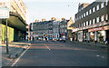
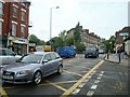
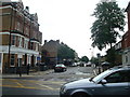
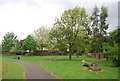
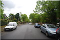
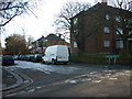
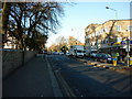


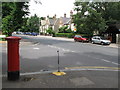
100 photos from this area
Area Information
Key information about the SE26 5DL including its size, population, and administrative classification.
- Area Type
- Postcode
- Area Size
- 1.3 hectares
- Population
- 1631
- Population Density
- 7925 people/km²
House Prices in SE26 5DL
33
Properties
£298,950
Average Sold Price
£132,500
Lowest Price
£743,255
Highest Price
Showing 33 properties
| Address | Type | Beds | Baths | Last Sale Price | Last Sale Date | |
|---|---|---|---|---|---|---|
| 89 Tannsfeld Road, London, SE26 5DL | house | - | - | £743,255 | Sep 2022 | |
| 59A Tannsfeld Road, London, SE26 5DL | Flat | 2 | 1 | £430,000 | Feb 2019 | |
| 61A Tannsfeld Road, London, SE26 5DL | Flat | - | - | £250,000 | Jan 2011 | |
| 75 Tannsfeld Road, London, SE26 5DL | Terraced | - | - | £499,995 | Aug 2007 | |
| 61B Tannsfeld Road, London, SE26 5DL | Flat | - | - | £177,000 | Jul 2006 | |
| 87 Tannsfeld Road, London, SE26 5DL | Semi-detached | - | - | £281,749 | Sep 2005 | |
| 59B Tannsfeld Road, London, SE26 5DL | Flat | - | - | £179,950 | Mar 2004 | |
| 91 Tannsfeld Road, London, SE26 5DL | Semi-detached | 1 | 1 | £222,000 | May 2002 | |
| 77 Tannsfeld Road, London, SE26 5DL | Semi-detached | - | - | £217,000 | Jul 2001 | |
| 57 Tannsfeld Road, London, SE26 5DL | house | - | - | £155,000 | Aug 1999 |
Page 1 of 4
Energy Efficiency in SE26 5DL
Amenities
Schools
| Rank | School | Type | Entry gender | Ages |
|---|
Explore more schools in this area
Go to Schools tabDemographics
Household Size
Two person
most common
Accommodation Type
Houses
most common
Tenure
54
majority
Ethnic Group
White
most common
Religion
N/A
most common
Household Composition
N/A
most common
Age
47
median
Adults (30-64 years)
most common
Household Deprivation
N/A
with no deprivation
NS-SEC
49
in Lower managerial occupations
Explore more demographic insights in this area
Go to Demographics tabPlanning
Planning Constraints
- Flood RiskPremium
- Ramsar Wetland SitesPremium
- Area of Outstanding Natural BeautyPremium
- Protected Nature ReservePremium
- Protected WoodlandPremium