Area Overview for SE26 5DG
Photos of SE26 5DG
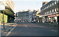
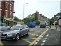
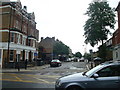
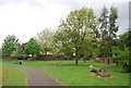
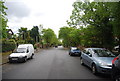
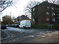
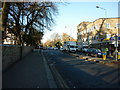


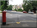
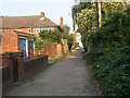
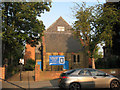
100 photos from this area
Area Information
Key information about the SE26 5DG including its size, population, and administrative classification.
- Area Type
- Postcode
- Area Size
- 8458 m²
- Population
- 1631
- Population Density
- 7925 people/km²
House Prices in SE26 5DG
25
Properties
£442,767
Average Sold Price
£83,000
Lowest Price
£1,040,000
Highest Price
Showing 25 properties
| Address | Type | Beds | Baths | Last Sale Price | Last Sale Date | |
|---|---|---|---|---|---|---|
| 78 Tannsfeld Road, London, SE26 5DG | Retail | 5 | 2 | £1,040,000 | Dec 2022 | |
| 86 Tannsfeld Road, London, SE26 5DG | Terraced | 3 | 1 | £762,500 | Jan 2021 | |
| 98 Tannsfeld Road, London, SE26 5DG | Detached | 3 | 2 | £630,000 | Jun 2019 | |
| 66 Tannsfeld Road, London, SE26 5DG | Terraced | 3 | 1 | £700,000 | Jan 2018 | |
| 56 Tannsfeld Road, London, SE26 5DG | house | - | - | £650,000 | May 2017 | |
| 88 Tannsfeld Road, London, SE26 5DG | house | 4 | 2 | £715,000 | Jul 2015 | |
| 80 Tannsfeld Road, London, SE26 5DG | Terraced | 5 | - | £721,000 | Jul 2014 | |
| 84 Tannsfeld Road, London, SE26 5DG | Terraced | - | - | £370,000 | Jul 2012 | |
| 96 Tannsfeld Road, London, SE26 5DG | Detached | - | - | £290,000 | Sep 2005 | |
| 62 Tannsfeld Road, London, SE26 5DG | Terraced | - | - | £228,000 | Dec 2002 |
Page 1 of 3
Energy Efficiency in SE26 5DG
Amenities
Schools
| Rank | School | Type | Entry gender | Ages |
|---|
Explore more schools in this area
Go to Schools tabDemographics
Household Size
Two person
most common
Accommodation Type
Houses
most common
Tenure
54
majority
Ethnic Group
White
most common
Religion
N/A
most common
Household Composition
N/A
most common
Age
47
median
Adults (30-64 years)
most common
Household Deprivation
N/A
with no deprivation
NS-SEC
49
in Lower managerial occupations
Explore more demographic insights in this area
Go to Demographics tabPlanning
Planning Constraints
- Flood RiskPremium
- Ramsar Wetland SitesPremium
- Area of Outstanding Natural BeautyPremium
- Protected Nature ReservePremium
- Protected WoodlandPremium