Area Overview for SE26 4QQ
Photos of SE26 4QQ
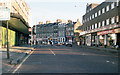
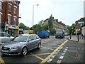
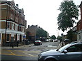
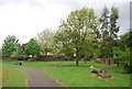
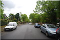
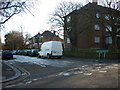
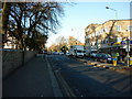
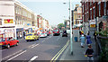
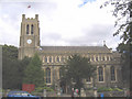
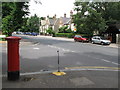
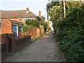
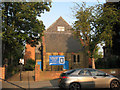
100 photos from this area
Area Information
Key information about the SE26 4QQ including its size, population, and administrative classification.
- Area Type
- Postcode
- Area Size
- 3030 m²
- Population
- 1785
- Population Density
- 10506 people/km²
House Prices in SE26 4QQ
18
Properties
£237,000
Average Sold Price
£35,000
Lowest Price
£432,500
Highest Price
Showing 18 properties
| Address | Type | Beds | Baths | Last Sale Price | Last Sale Date | |
|---|---|---|---|---|---|---|
| 223 Kirkdale, London, SE26 4QQ | Maisonette | 3 | 1 | £391,000 | Jul 2024 | |
| 221 Kirkdale, London, SE26 4QQ | Maisonette | 2 | - | £432,500 | Jun 2021 | |
| 209 Kirkdale, London, SE26 4QQ | Flat | 2 | 1 | £342,500 | Dec 2019 | |
| 225 Kirkdale, London, SE26 4QQ | Flat | - | - | £340,000 | Jun 2017 | |
| 219 Kirkdale, London, SE26 4QQ | Maisonette | 3 | 1 | £245,000 | Sep 2013 | |
| 227 Kirkdale, London, SE26 4QQ | Flat | - | - | £65,000 | Oct 1998 | |
| 207 Kirkdale, London, SE26 4QQ | Maisonette | 3 | 1 | £45,000 | Apr 1997 | |
| 211 Kirkdale, London, SE26 4QQ | Flat | - | - | £35,000 | Dec 1995 | |
| 215A Kirkdale, London, SE26 4QQ | Flat | 2 | 1 | - | - | |
| 223A Kirkdale, London, SE26 4QQ | Maisonette | 2 | 1 | - | - |
Page 1 of 2
Energy Efficiency in SE26 4QQ
Amenities
Schools
| Rank | School | Type | Entry gender | Ages |
|---|
Explore more schools in this area
Go to Schools tabDemographics
Household Size
One person
most common
Accommodation Type
Flats
most common
Tenure
31
majority
Ethnic Group
White
most common
Religion
N/A
most common
Household Composition
N/A
most common
Age
47
median
Adults (30-64 years)
most common
Household Deprivation
N/A
with no deprivation
NS-SEC
39
in Lower managerial occupations
Explore more demographic insights in this area
Go to Demographics tabPlanning
Planning Constraints
- Flood RiskPremium
- Ramsar Wetland SitesPremium
- Area of Outstanding Natural BeautyPremium
- Protected Nature ReservePremium
- Protected WoodlandPremium