Area Overview for SE26 4NL
Photos of SE26 4NL
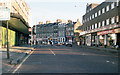
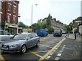
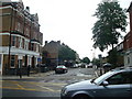
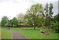
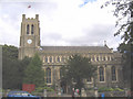
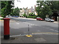
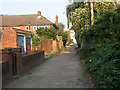
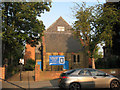
100 photos from this area
Area Information
Key information about the SE26 4NL including its size, population, and administrative classification.
- Area Type
- Postcode
- Area Size
- 1.5 hectares
- Population
- 1785
- Population Density
- 10506 people/km²
House Prices in SE26 4NL
98
Properties
£258,250
Average Sold Price
£120,000
Lowest Price
£445,000
Highest Price
Showing 98 properties
| Address | Type | Beds | Baths | Last Sale Price | Last Sale Date | |
|---|---|---|---|---|---|---|
| 228 Kirkdale, London, SE26 4NL | Terraced | 2 | 1 | £445,000 | Mar 2022 | |
| 236 Kirkdale, London, SE26 4NL | Terraced | 2 | 1 | £438,000 | Jun 2021 | |
| 206 Kirkdale, London, SE26 4NL | Flat | - | - | £173,000 | May 2012 | |
| 232 Kirkdale, London, SE26 4NL | house | 2 | - | £250,000 | Jul 2011 | |
| 212 Kirkdale, London, SE26 4NL | Flat | - | - | £123,500 | Apr 2005 | |
| 214 Kirkdale, London, SE26 4NL | Flat | 2 | 1 | £120,000 | Jan 2003 | |
| 234 Kirkdale, London, SE26 4NL | Terraced | 2 | 1 | - | - | |
| Room 1, Kirkdale Care Centre, 258 Kirkdale, London, SE26 4NL | Semi-detached | 2 | - | - | - | |
| 258 Kirkdale, London, SE26 4NL | Detached | - | - | - | - | |
| 250 Kirkdale, London, SE26 4NL | Terraced | - | - | - | - |
Page 1 of 10
Energy Efficiency in SE26 4NL
Amenities
Schools
| Rank | School | Type | Entry gender | Ages |
|---|
Explore more schools in this area
Go to Schools tabDemographics
Household Size
One person
most common
Accommodation Type
Flats
most common
Tenure
31
majority
Ethnic Group
White
most common
Religion
N/A
most common
Household Composition
N/A
most common
Age
47
median
Adults (30-64 years)
most common
Household Deprivation
N/A
with no deprivation
NS-SEC
39
in Lower managerial occupations
Explore more demographic insights in this area
Go to Demographics tabPlanning
Planning Constraints
- Flood RiskPremium
- Ramsar Wetland SitesPremium
- Area of Outstanding Natural BeautyPremium
- Protected Nature ReservePremium
- Protected WoodlandPremium