Area Overview for SE26 4PB
Photos of SE26 4PB
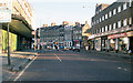
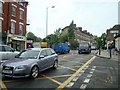
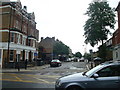
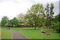
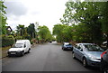
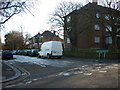
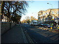
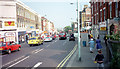
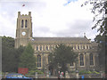
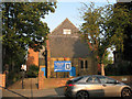
100 photos from this area
Area Information
Key information about the SE26 4PB including its size, population, and administrative classification.
- Area Type
- Postcode
- Area Size
- 9820 m²
- Population
- 1631
- Population Density
- 7925 people/km²
House Prices in SE26 4PB
41
Properties
£505,026
Average Sold Price
£26,000
Lowest Price
£955,000
Highest Price
Showing 41 properties
| Address | Type | Beds | Baths | Last Sale Price | Last Sale Date | |
|---|---|---|---|---|---|---|
| 14 Dukesthorpe Road, London, SE26 4PB | Terraced | 3 | 1 | £857,500 | Dec 2024 | |
| 6 Dukesthorpe Road, London, SE26 4PB | Terraced | 4 | 2 | £950,000 | Oct 2023 | |
| 1 Dukesthorpe Road, London, SE26 4PB | house | 3 | 1 | £880,000 | Oct 2023 | |
| 15 Dukesthorpe Road, London, SE26 4PB | house | - | - | £750,000 | Jul 2022 | |
| 4 Dukesthorpe Road, London, SE26 4PB | Terraced | 3 | 1 | £820,000 | Jun 2022 | |
| 20 Dukesthorpe Road, London, SE26 4PB | Terraced | 5 | 2 | £955,000 | Dec 2020 | |
| 11A Dukesthorpe Road, London, SE26 4PB | Flat | 1 | 1 | £313,000 | Oct 2019 | |
| 29 Dukesthorpe Road, London, SE26 4PB | Terraced | 3 | 1 | £742,500 | Jul 2019 | |
| 9 Dukesthorpe Road, London, SE26 4PB | Terraced | 3 | - | £775,000 | Oct 2016 | |
| 16 Dukesthorpe Road, London, SE26 4PB | Terraced | 3 | - | £775,000 | Sep 2016 |
Page 1 of 5
Energy Efficiency in SE26 4PB
Amenities
Schools
| Rank | School | Type | Entry gender | Ages |
|---|
Explore more schools in this area
Go to Schools tabDemographics
Household Size
Two person
most common
Accommodation Type
Houses
most common
Tenure
54
majority
Ethnic Group
White
most common
Religion
N/A
most common
Household Composition
N/A
most common
Age
47
median
Adults (30-64 years)
most common
Household Deprivation
N/A
with no deprivation
NS-SEC
49
in Lower managerial occupations
Explore more demographic insights in this area
Go to Demographics tabPlanning
Planning Constraints
- Flood RiskPremium
- Ramsar Wetland SitesPremium
- Area of Outstanding Natural BeautyPremium
- Protected Nature ReservePremium
- Protected WoodlandPremium