Area Overview for SE20 7XA
Photos of SE20 7XA
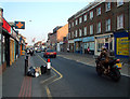
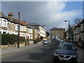
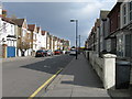
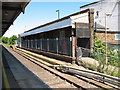
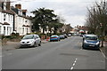
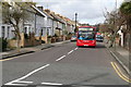
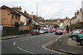
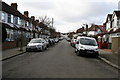
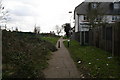
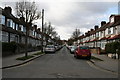
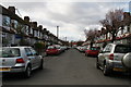
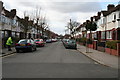
100 photos from this area
Area Information
Key information about the SE20 7XA including its size, population, and administrative classification.
- Area Type
- Postcode
- Area Size
- 5269 m²
- Population
- 1470
- Population Density
- 4515 people/km²
House Prices in SE20 7XA
21
Properties
£319,550
Average Sold Price
£63,000
Lowest Price
£570,000
Highest Price
Showing 21 properties
| Address | Type | Beds | Baths | Last Sale Price | Last Sale Date | |
|---|---|---|---|---|---|---|
| 108 Marlow Road, Penge, London, SE20 7XA | Terraced | 3 | 2 | £495,000 | Jun 2021 | |
| 118 Marlow Road, Penge, London, SE20 7XA | house | - | - | £503,500 | Mar 2021 | |
| 114 Marlow Road, Penge, London, SE20 7XA | house | 4 | - | £570,000 | Aug 2020 | |
| 104 Marlow Road, Penge, London, SE20 7XA | Terraced | 3 | 1 | £459,000 | May 2019 | |
| 94 Marlow Road, Penge, London, SE20 7XA | house | - | - | £465,000 | Sep 2015 | |
| 96 Marlow Road, Penge, London, SE20 7XA | Terraced | - | - | £250,000 | Oct 2005 | |
| 92 Marlow Road, Penge, London, SE20 7XA | Terraced | - | - | £205,000 | Oct 2003 | |
| 110 Marlow Road, Penge, London, SE20 7XA | Terraced | 4 | 3 | £84,000 | Apr 1999 | |
| 100 Marlow Road, Penge, London, SE20 7XA | Terraced | - | - | £101,000 | Jul 1998 | |
| 116 Marlow Road, Penge, London, SE20 7XA | Terraced | - | - | £63,000 | Jan 1995 |
Page 1 of 3
Energy Efficiency in SE20 7XA
Amenities
Schools
| Rank | School | Type | Entry gender | Ages |
|---|
Explore more schools in this area
Go to Schools tabDemographics
Household Size
Family (3-5 people)
most common
Accommodation Type
Houses
most common
Tenure
77
majority
Ethnic Group
White
most common
Religion
N/A
most common
Household Composition
N/A
most common
Age
47
median
Adults (30-64 years)
most common
Household Deprivation
N/A
with no deprivation
NS-SEC
45
in Lower managerial occupations
Explore more demographic insights in this area
Go to Demographics tabPlanning
Planning Constraints
- Flood RiskPremium
- Ramsar Wetland SitesPremium
- Area of Outstanding Natural BeautyPremium
- Protected Nature ReservePremium
- Protected WoodlandPremium