Area Overview for SE20 7XB
Photos of SE20 7XB
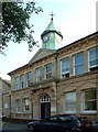
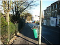
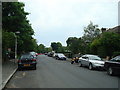
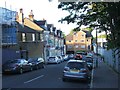
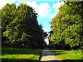
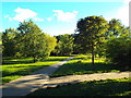
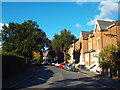
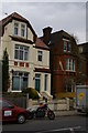
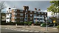
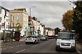
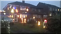
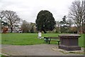
77 photos from this area
Area Information
Key information about the SE20 7XB including its size, population, and administrative classification.
- Area Type
- Postcode
- Area Size
- 1.3 hectares
- Population
- 1356
- Population Density
- 8909 people/km²
House Prices in SE20 7XB
24
Properties
£499,750
Average Sold Price
£186,000
Lowest Price
£1,070,000
Highest Price
Showing 24 properties
| Address | Type | Beds | Baths | Last Sale Price | Last Sale Date | |
|---|---|---|---|---|---|---|
| 11 Thornsett Road, Penge, London, SE20 7XB | Retail | 4 | 2 | £1,070,000 | Jul 2022 | |
| 31 Thornsett Road, Penge, London, SE20 7XB | house | - | - | £850,000 | Sep 2021 | |
| 17 Thornsett Road, Penge, London, SE20 7XB | Semi-detached | - | - | £395,000 | Oct 2009 | |
| 9 Thornsett Road, Penge, London, SE20 7XB | Semi-detached | 5 | 3 | £499,999 | Apr 2007 | |
| 21 Thornsett Road, Penge, London, SE20 7XB | house | 1 | 2 | £494,000 | Jan 2005 | |
| 33 Thornsett Road, Penge, London, SE20 7XB | house | - | - | £305,000 | Feb 2001 | |
| 5 Thornsett Road, Penge, London, SE20 7XB | house | - | - | £186,000 | Feb 2000 | |
| 29 Thornsett Road, Penge, London, SE20 7XB | Semi-detached | - | - | £198,000 | Aug 1998 | |
| Flat 4, 15 Thornsett Road, Penge, London, SE20 7XB | Flat | 1 | 1 | - | - | |
| 7 Thornsett Road, Penge, London, SE20 7XB | Detached | 4 | 2 | - | - |
Page 1 of 3
Energy Efficiency in SE20 7XB
Amenities
Schools
| Rank | School | Type | Entry gender | Ages |
|---|
Explore more schools in this area
Go to Schools tabDemographics
Household Size
Family (3-5 people)
most common
Accommodation Type
Houses
most common
Tenure
62
majority
Ethnic Group
White
most common
Religion
N/A
most common
Household Composition
N/A
most common
Age
47
median
Adults (30-64 years)
most common
Household Deprivation
N/A
with no deprivation
NS-SEC
44
in Lower managerial occupations
Explore more demographic insights in this area
Go to Demographics tabPlanning
Planning Constraints
- Flood RiskPremium
- Ramsar Wetland SitesPremium
- Area of Outstanding Natural BeautyPremium
- Protected Nature ReservePremium
- Protected WoodlandPremium