Area Overview for SE20 7NA
Photos of SE20 7NA
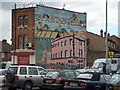
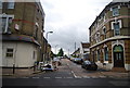
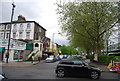
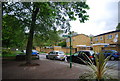
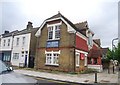
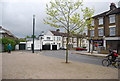
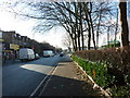
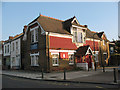
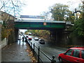
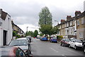
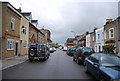
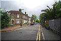
100 photos from this area
Area Information
Key information about the SE20 7NA including its size, population, and administrative classification.
- Area Type
- Postcode
- Area Size
- 8392 m²
- Population
- 1696
- Population Density
- 10554 people/km²
House Prices in SE20 7NA
46
Properties
£400,058
Average Sold Price
£71,000
Lowest Price
£790,000
Highest Price
Showing 46 properties
| Address | Type | Beds | Baths | Last Sale Price | Last Sale Date | |
|---|---|---|---|---|---|---|
| 38 Somerville Road, Penge, London, SE20 7NA | Terraced | 3 | 1 | £633,000 | Sep 2024 | |
| 36 Somerville Road, Penge, London, SE20 7NA | house | 3 | 2 | £790,000 | Aug 2024 | |
| 15 Somerville Road, Penge, London, SE20 7NA | house | 2 | - | £590,000 | Jun 2022 | |
| 24 Somerville Road, Penge, London, SE20 7NA | Terraced | 3 | - | £675,000 | Apr 2022 | |
| 13 Somerville Road, Penge, London, SE20 7NA | house | - | - | £510,000 | Jan 2022 | |
| 26 Somerville Road, Penge, London, SE20 7NA | Semi-detached | 4 | 1 | £680,000 | May 2021 | |
| 25 Somerville Road, Penge, London, SE20 7NA | Terraced | 4 | 2 | £670,000 | Aug 2020 | |
| 2 Somerville Road, Penge, London, SE20 7NA | Terraced | 3 | 1 | £618,000 | Jul 2019 | |
| 17 Somerville Road, Penge, London, SE20 7NA | Terraced | 2 | 1 | £492,500 | Feb 2019 | |
| 23 Somerville Road, Penge, London, SE20 7NA | Terraced | 3 | 1 | £470,000 | Oct 2018 |
Page 1 of 5
Energy Efficiency in SE20 7NA
Amenities
Schools
| Rank | School | Type | Entry gender | Ages |
|---|
Explore more schools in this area
Go to Schools tabDemographics
Household Size
One person
most common
Accommodation Type
Houses
most common
Tenure
54
majority
Ethnic Group
White
most common
Religion
N/A
most common
Household Composition
N/A
most common
Age
47
median
Adults (30-64 years)
most common
Household Deprivation
N/A
with no deprivation
NS-SEC
48
in Lower managerial occupations
Explore more demographic insights in this area
Go to Demographics tabPlanning
Planning Constraints
- Flood RiskPremium
- Ramsar Wetland SitesPremium
- Area of Outstanding Natural BeautyPremium
- Protected Nature ReservePremium
- Protected WoodlandPremium