Area Overview for SE2 0RU
Photos of SE2 0RU
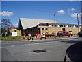
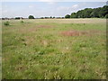
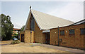
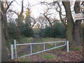
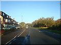
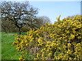
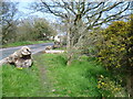
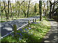
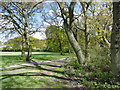
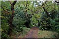
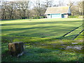
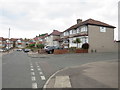
59 photos from this area
Area Information
Key information about the SE2 0RU including its size, population, and administrative classification.
- Area Type
- Postcode
- Area Size
- 1.3 hectares
- Population
- 1495
- Population Density
- 5669 people/km²
House Prices in SE2 0RU
36
Properties
£333,540
Average Sold Price
£117,000
Lowest Price
£533,460
Highest Price
Showing 36 properties
| Address | Type | Beds | Baths | Last Sale Price | Last Sale Date | |
|---|---|---|---|---|---|---|
| 9 West Heath Road, London, SE2 0RU | Detached | 3 | 1 | £455,000 | Sep 2025 | |
| 71 West Heath Road, London, SE2 0RU | Semi-detached | 3 | 1 | £533,460 | Jul 2025 | |
| 1 West Heath Road, London, SE2 0RU | Flat | 2 | 2 | £380,000 | Jun 2025 | |
| 25 West Heath Road, London, SE2 0RU | house | 3 | - | £350,000 | Sep 2023 | |
| 3 West Heath Road, London, SE2 0RU | Terraced | 3 | 1 | £525,000 | Sep 2022 | |
| 27 West Heath Road, London, SE2 0RU | Terraced | 3 | 1 | £486,000 | Aug 2022 | |
| 29 West Heath Road, London, SE2 0RU | Terraced | 3 | 1 | £449,000 | Jul 2022 | |
| 33 West Heath Road, London, SE2 0RU | house | - | - | £400,000 | Jul 2019 | |
| 59 West Heath Road, London, SE2 0RU | Semi-detached | 3 | - | £460,000 | Dec 2018 | |
| 17 West Heath Road, London, SE2 0RU | house | - | - | £430,000 | Jul 2018 |
Page 1 of 4
Energy Efficiency in SE2 0RU
Amenities
Schools
| Rank | School | Type | Entry gender | Ages |
|---|
Explore more schools in this area
Go to Schools tabDemographics
Household Size
Family (3-5 people)
most common
Accommodation Type
Houses
most common
Tenure
90
majority
Ethnic Group
White
most common
Religion
N/A
most common
Household Composition
N/A
most common
Age
47
median
Adults (30-64 years)
most common
Household Deprivation
N/A
with no deprivation
NS-SEC
31
in Lower managerial occupations
Explore more demographic insights in this area
Go to Demographics tabPlanning
Planning Constraints
- Flood RiskPremium
- Ramsar Wetland SitesPremium
- Area of Outstanding Natural BeautyPremium
- Protected Nature ReservePremium
- Protected WoodlandPremium